
Daniel Boone National Forest
Kentucky’s Greatest Outdoor Treasure
About This Region
Encompassing a total of 2.1 million acres with 708,000 acres of managed lands, Daniel Boone National Forest provides more hiking opportunities than can be explored in a single lifetime.
The area includes countless natural rock arches, playful waterfalls, and stunning clifftop vistas with many of the most beautiful places remaining shrouded in thick, hardwood forests.
For hearty off-trail hikers, the forest holds abundant hidden treasures that remain difficult to reach, but provide stunning scenes rarely visited by others.
Cumberland Ranger District
This is an incredibly scenic route and was especially so with the lively clouds we enjoyed throughout the day. This hike visits seven named overlooks and four arches with a handful of unnamed overlooks to go with it. Mostly ridgeline hiking, be sure to pack plenty of water and electrolytes on hot days and leave a water cache if needed (we did) because there are zero reliable water sources on the route.
This is a fantastic overlook that goes by at least two names - Rainbow Point or Rocky Branch Overlook #2. Both names are appropriate, as the curved cliff wall seen from the overlook certainly resembles a rainbow, and it is the second perch above Rocky Branch. Meh, doesn’t matter much - it’s a great spot with an easy 5K walk.
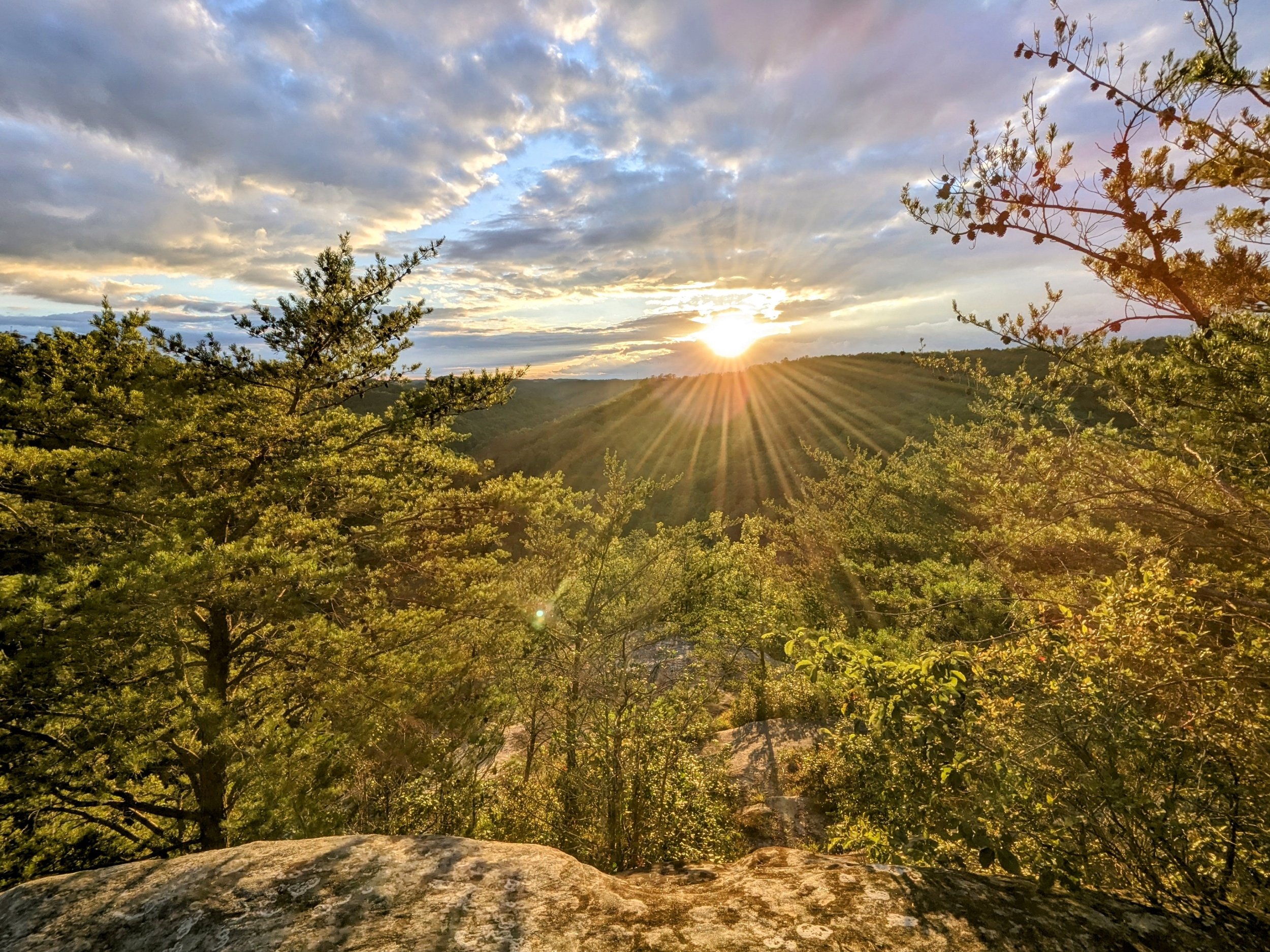
We were a couple weeks late on the Fall equinox, but the sunset was gorgeous with mostly clear skies and warm temps for early October. This is the easiest to reach of the three overlooks off the Sky Bridge Picnic Area parking lot - we brought a chair and loads of snacks to enjoy the finish to the day.
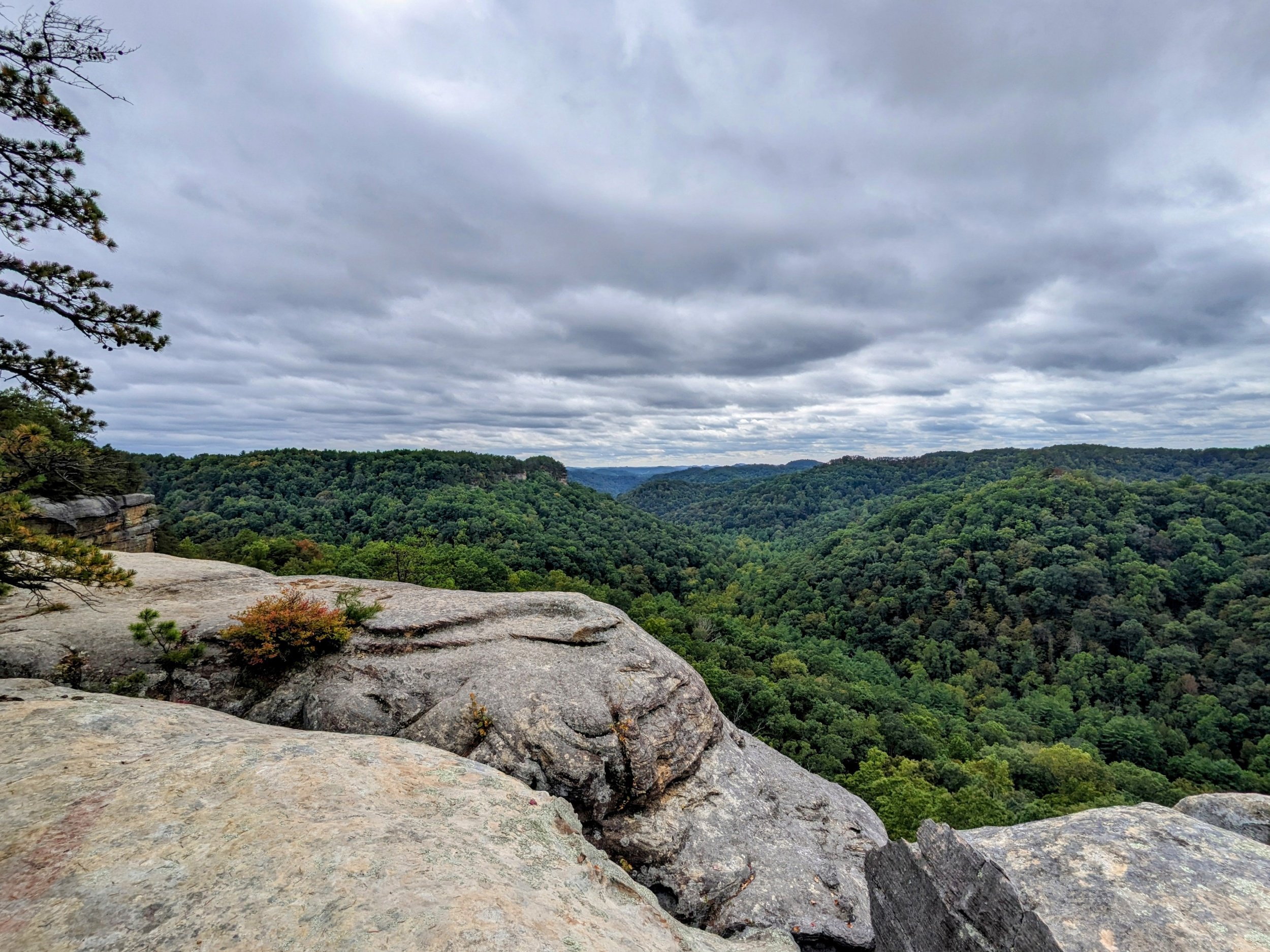
This is one of LaFonda’s favorite overlooks, and it’s among the best to enjoy midday in Red River Gorge. A short, easy walk leads out to a tremendous view south-southwest over Dunkan Branch. Though unmarked and unmaintained, it is well trod and easily navigated with the waypoints below or .gpx file loaded into your favorite map app.
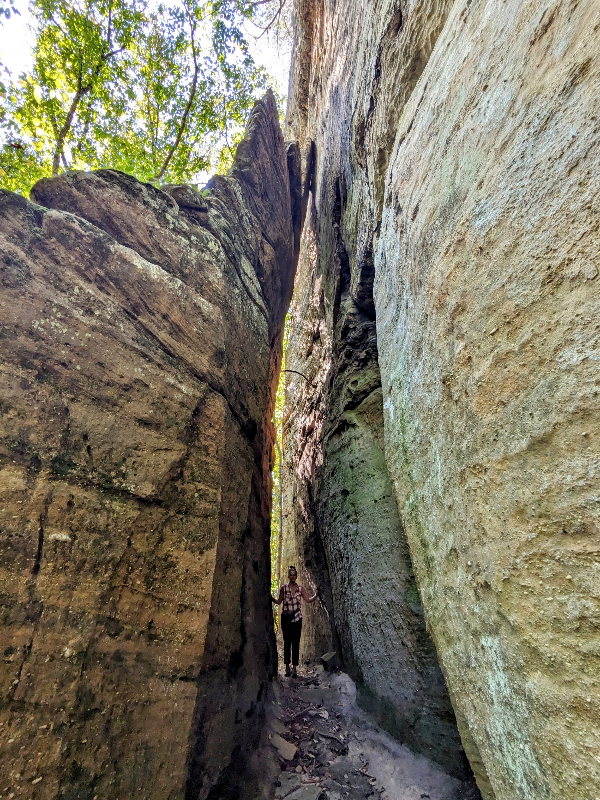
This short hike is better known to climbers than hikers, but still provides some spectacular geology. It had been years since my last visit, but the textures of the walls and the massive leaning rock is worth the sweat required.
This is one of the better overlooks in Red River Gorge and a nice sunset spot. This short route is open Spring through Fall using the very long gravel road on Hatton Ridge. Forest Service closes the road in Winter. Read the cautions and notes below before heading out.
After getting into the Gorge, we stopped here to stretch the legs and catch some excellent views with friendly clouds overhead. This is a great hike to kickoff your time in Red River Gorge with a top notch overlook and one of the most popular arches in Kentucky.
This overlook has been labeled with several names over the years, but I think I’m settled on Moreland Branch South Overlook. It’s a very fine sunset spot that is ideal from mid-September to mid-October, but on this day was our closest short sunset hiking option as the clock was ticking and clouds were moving in. It’s a relatively easy hike to a large multi-level rock outcropping. Read the notes below for details.
London Ranger District
It was fun seeing this arch in the distance as we drove down Long Bottom Road. The arch is a classic ridgetop beauty - even with the spray paint at its base.
This is a large, sandwich like arch that is supported by at least four small pillars with multiple windows all around it. It’s a fascinating formation and one that is well worth the long drive and very short hike.
This is one of my favorites in the region, and this is the first time I’ve taken the short route to get there. With the family along for Thanksgiving, this was a perfect hike to cap off a wonderful day. The creek has a couple slides and cascades along the way, but the scene at Dog Slaughter Falls is among the best in Kentucky. And, with the tail end of dry season, I enjoyed a 360-degree walk around and beneath the falls.
Stearns Ranger District
The Yamacraw 20K course is arguably the most scenic ‘fun run’ in Kentucky with a net descent paired with beautiful forest scenes, passing by Princess Falls, and going through a pair of mountain laurel tunnels that just happen to be in bloom on race day each year. It’s a must-do event for trail runners in the region and sells out annually.
An easy walk to some great views that are spectacular at sunrise. At less than a half-mile roundtrip, this is one of the classic short hikes in Kentucky. It’s also a great place to picnic, so pack some charcoal and get the burgers and dogs goin’!
This year, I posted a DNF (Did Not Finish) and while a DNF hurts, this one is still hurting weeks later as I write this. Somewhere around mile 6(?), I planted my foot, the rock shifted, and I took a hard fall on my chest and face.
This is an often overlooked arch thanks to its neighboring attractions at Yahoo Recreation Area. When visiting Yahoo Falls, Overlooks, and Arch, make a pit stop here to get the legs warm. And, notice there is a second opening on the east side of the rock formation. See the hiker note below about that.
This was the first hike I did in the region many years ago, and it remains a great, short hike to one of Kentucky’s most impressive arches. The rock outcropping that seemingly comes up out of nowhere is as impressive as the arch and a beautiful walk in the forest.
This is a nice, quick walk on paved path to a developed platform looking out over Natural Arch and the Great Gulf. It’s worthy of a stop anytime you’re driving by on US-27 and additional hiking with routes ranging from a quarter mile to 6.5 miles on Buffalo Canyon Loop.
I wear a Road ID bracelet and on it is inscribed, “Last Place > DNF > DNS.” Translated, that’s, “Last place is better than did not finish is better than did not start.” Coming in undertrained and in conditions that I’d rather hike than run, I hiked. A lot. And got that last place finish with only seconds to spare:-)
It’s always tough to know how big an arch is until you get there. Koger is a big, thick arch that’s also quite photogenic. This short hike has a little elevation gain, but it’s short, so an easy one overall. This is a natural pairing with Princess Falls and/or Dick Gap Overlook.
I’ve always hiked here as part of longer routes, so the day before a 50K race made for a great reason to hike the short version. Princess Falls is among the more playful waterfalls in Kentucky and typically has decent flow except during significant droughts. Along the way, enjoy Julia Lynn Falls that was trickling after a dry stretch, but is gorgeous with recent rains.
This is a nice, short loop through some mixed forest on mostly double track gravel road. Named for the Alpine community that once lived and worked coal mines here, the trail features plenty of wildflowers, an old cemetery, and remnants of the mining operations here.
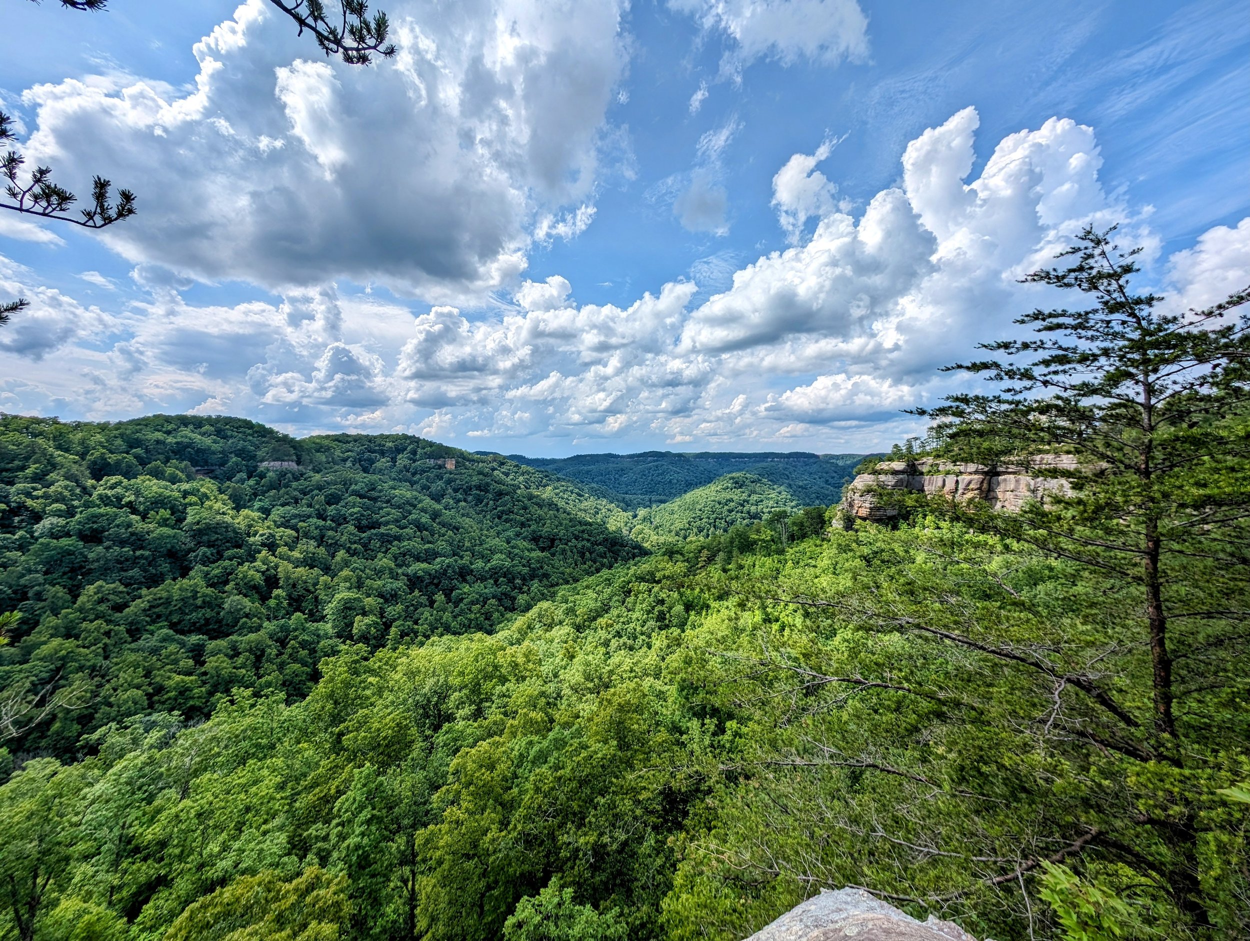
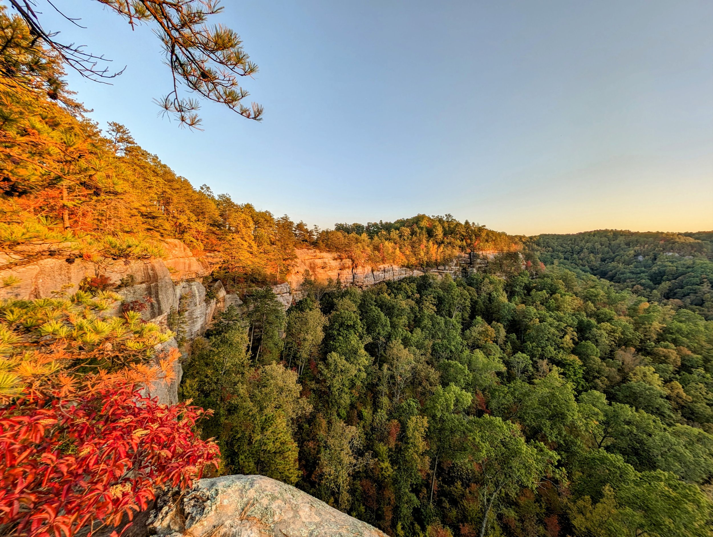
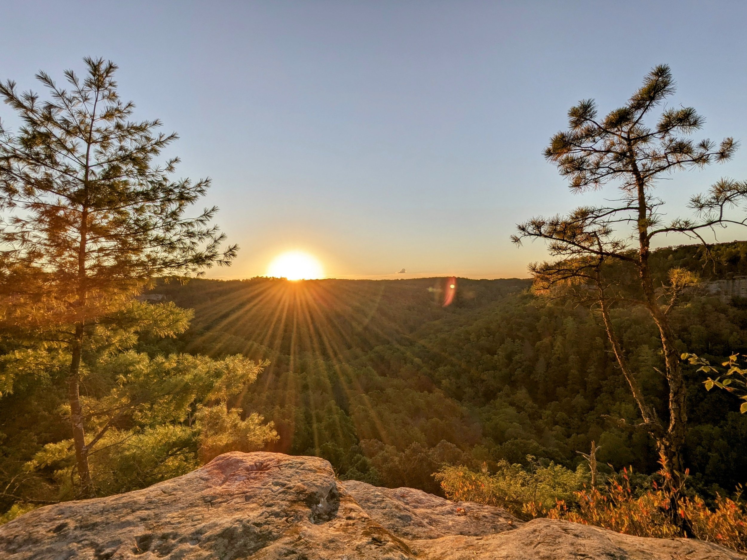
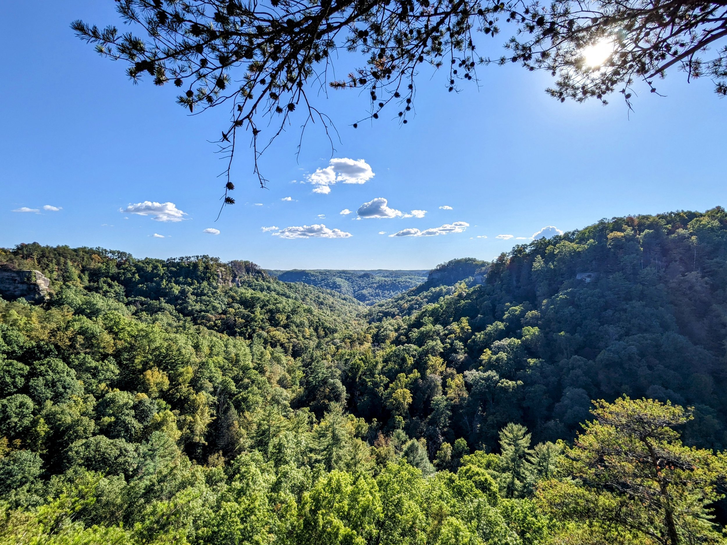

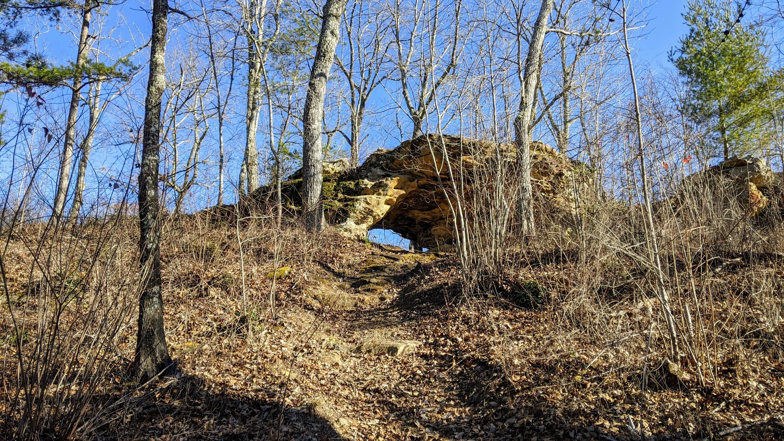


There are two Moonshiner’s Arches in Kentucky - this one in Whitley County and the other in Menifee County. Both are short hikes, large arches, and have chimneys in each, but this one is just a little prettier;-) Anytime you’re in the Cumberland Falls area, this arch is worth a quick stop just off KY-90.