August Sunset at “Moreland Branch South Overlook”
Map of Moreland Branch South Overlook, Red River Gorge
Elevation Profile of Moreland Branch South Overlook, Red River Gorge
Overview. This overlook has been labeled with several names over the years, but I think I’m settled on Moreland Branch South Overlook. It’s a very fine sunset spot that is ideal from mid-September to mid-October, but on this day was our closest short sunset hiking option as the clock was ticking and clouds were moving in. It’s a relatively easy hike to a large multi-level rock outcropping. Read the notes below for details.
Route Type | Out and Back
Total Distance | 1.3 miles
Elevation Gain | 129 feet
Overall Difficulty | Easy with an Optional Class 2 Scramble
*this hike is on unmarked/unmaintained trail, but is relatively easy to navigate
GPS Waypoints
Pioneer Parking Lot | 37.809314, -83.683156
Fork Off Tunnel Ridge Road | 37.812164, -83.683892
Large Campsite | 37.812967, -83.685528
Small Campsite | 37.813314, -83.686692
Moreland Branch South Overlook | 37.815236, -83.688642
Red River Gorge Area Map
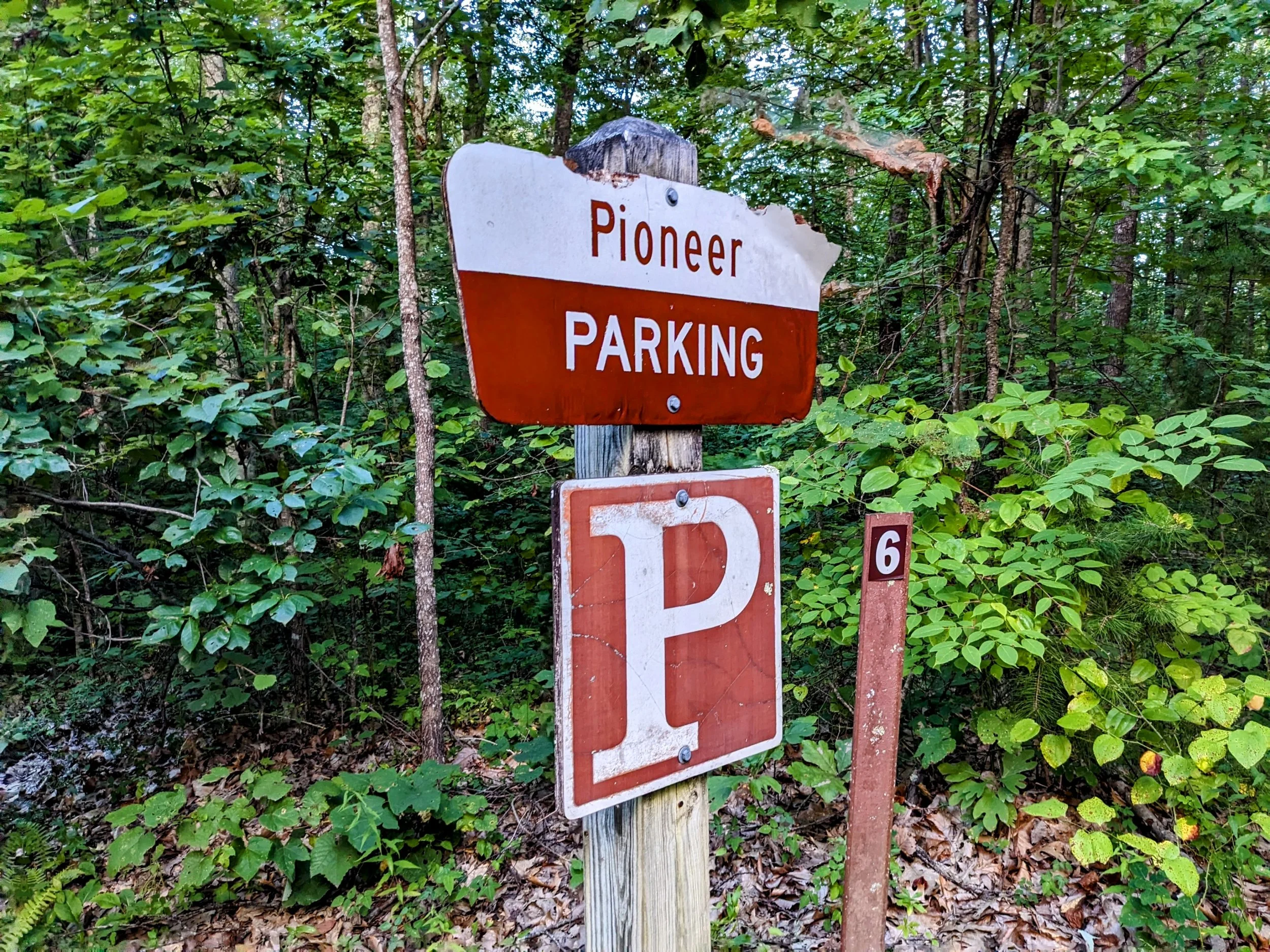
Parking. Limited parking is available at the Pioneer Parking Lot off Tunnel Ridge Road with a pit toilet and trash receptacles. On nice weather weekends, this lot can be full, so have a back-up plan when this is the case.
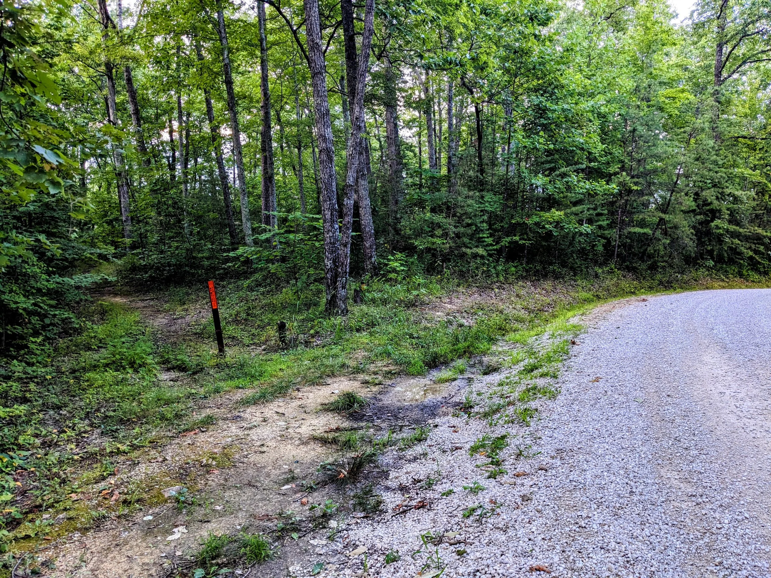
Trail Navigation. Coming out of the Pioneer Parking Lot, turn right onto Tunnel Ridge Road and walk about a quarter-mile to the fork with an old forest road. Take the left fork (northwest) and continue until reaching a large campsite. You’ll walk through the campsite turning left (west-southwest) nearly 90-degrees to follow the singletrack trail. Reach the second campsite and take a right (north) at nearly 90-degrees and follow a narrower singletrack trail with plenty of scruff to rub against you - especially during the growing season. Continue until reaching the top deck of the overlook. Scramble down on your right if you choose and pick a spot to take in the views. Retrace your steps to return to the parking lot.
HIKER NOTE - Camping. This is a popular camping area, so if you hike this on a busy weekend, expect to see campers on the trail. Interestingly, all but one camping party I’ve encountered here over the years had no idea an overlook existed beyond the campsites. Many also didn’t expect hikers to be walking through their camps either, so announce your approach and be polite.
HIKER NOTE - Moreland Branch Overlooks. There are at least seven overlooks of this drainage that KY-77 (Nada Tunnel Road) follows. This is the lone easily accessible overlook on the south side and the others are on the north side.
RULE REMINDER - Parking Tickets. Parking on Tunnel Ridge Road is prohibited except in designated areas marked with signs. If you park at the fork from Tunnel Ridge Road to the forest road, you can be ticketed. Use Pioneer Parking Lot and if that’s full, park at the Grey’s Branch Roadside Overlook further out on Tunnel Ridge Road and walk back to the fork using the GPS waypoint above.
CAUTION - Scramble. You can hike this without scrambling and enjoy the view from the top deck of this multi-tiered overlook. The scramble is on approach right off the top deck and has a big last step. Easier for tall folks, a bit more impact force for shorter folks. The problem is the scramble is a couple feet from the top of a high cliff where a bad foot plant could be bad. Crab walking down and back up is the safest means without rope. Do NOT attempt during inclement weather including rain/ice/snow.
CAUTION - Deadly Drops. Long falls from high places are the #1 non-health related cause of death for hikers in Kentucky. Keep your distance from the edges of cliffs to avoid a deadly fall. Young children should be kept close.
CAUTION - Poisonous Snakes. Copperheads and timber rattlesnakes can be found in the area. Should you encounter one, stop and slowly back away. Always give venomous snakes a wide berth. Know Before You Go => University of Kentucky Venomous Snake Guide
CAUTION - Black Bears. Ursus Americanus - a.k.a. the American black bear is growing in population throughout much of Kentucky. Know Before You Go => US Forest Service Black Bear Safety Tips
Pioneer Parking Lot Sign Off of Tunnel Ridge Road
Fork to Forest Road
No Motor Vehicles…and no parking either
Large Campsite
Small Campsite
View from the Top Deck at Moreland Branch South Overlook
View from Second Deck with Clouds Coming In
Walking Back on Tunnel Ridge Road Near Dark


