Spring at Alpine Loop Trail
Map of Alpine Loop Trail, Stearns Ranger District, Daniel Boone National Forest
Elevation Profile of Alpine Loop Trail, Stearns Ranger District, Daniel Boone National Forest
Overview. This is a nice, short loop through some mixed forest on mostly double track gravel road. Named for the Alpine community that once lived and worked coal mines here, the trail features plenty of wildflowers, an old cemetery, and remnants of the mining operations here.
Route Type | Loop
Total Distance | 1.7 miles
Overall Difficulty | Easy
GPS Waypoints
North Trailhead | 36.915789, -84.516642
Alpine Cemetery | 36.917083, -84.523361
South Trailhead | 36.914894, -84.517100
Alpine Loop Trail Map
Parking. Ample parking is available at either trailhead located just off US-27.
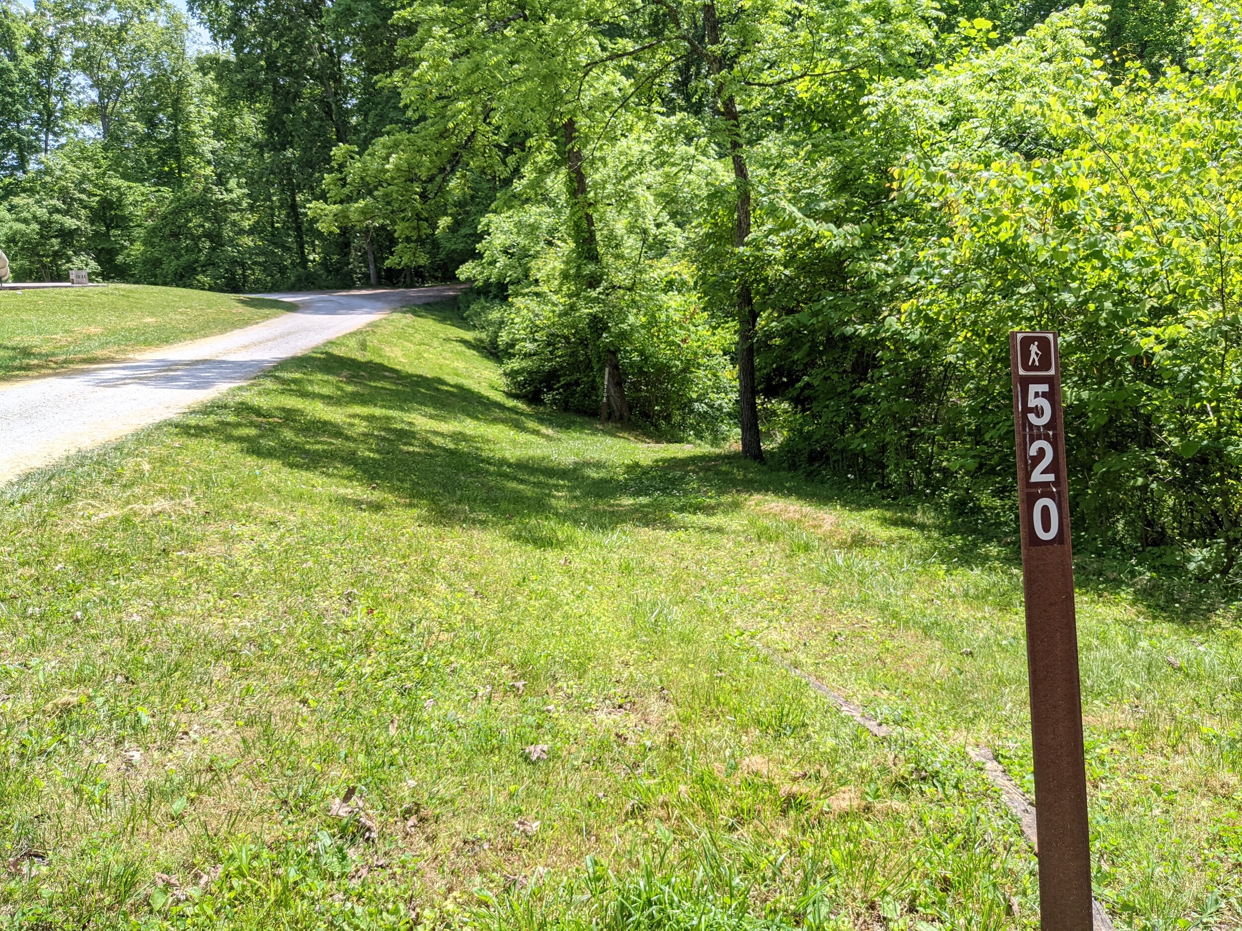
Trail navigation. The trail is easily navigated and well marked. I took some extra steps exploring the forest roads and ATV tracks coming off the trail to find a dump site and stripped down Hyundai. Follow the white diamond blazes and signs for Trail #520 to stay on track. If you walk more than a tenth of a mile without a blaze, you’ve likely walked out to an ATV trail.
HIKER NOTE - Picnic and Play Area. This is a nice stop to unwind some energy if the kids are getting antsy. A decent sized playground with picnic shelters and basic grills are available for use. Shelters can be reserved by contacting the Stearns Ranger District Office.
CAUTION - Abandoned Mines Present. Be sure to avoid entering abandoned mines that have been closed by Forest Service. All mines AND caves are closed to the public throughout Daniel Boone National Forest.
CAUTION - Poisonous Snakes. Copperheads and timber rattlesnakes can be found in the area. Should you encounter one, stop and slowly back away. Always give venemous snakes a wide berth. Know Before You Go => University of Kentucky Venemous Snake Guide
CAUTION - Black Bears. Ursus Americanus - a.k.a. the American black bear is growing in population throughout much of Kentucky. Know Before You Go => US Forest Service Black Bear Safety Tips
Alpine Loop South Trailhead, Stearns Ranger District, Daniel Boone National Forest
White Diamond Blaze, Stearns Ranger District, Daniel Boone National Forest
Dump Site Just Off Trail, Stearns Ranger District, Daniel Boone National Forest
Stripped Down Hyundai, Stearns Ranger District, Daniel Boone National Forest
Multiflora Rose, Stearns Ranger District, Daniel Boone National Forest
Lobed Coreopsis, Stearns Ranger District, Daniel Boone National Forest
John Anderson Headstone, Stearns Ranger District, Daniel Boone National Forest
Mapleleaf Viburnum, Stearns Ranger District, Daniel Boone National Forest
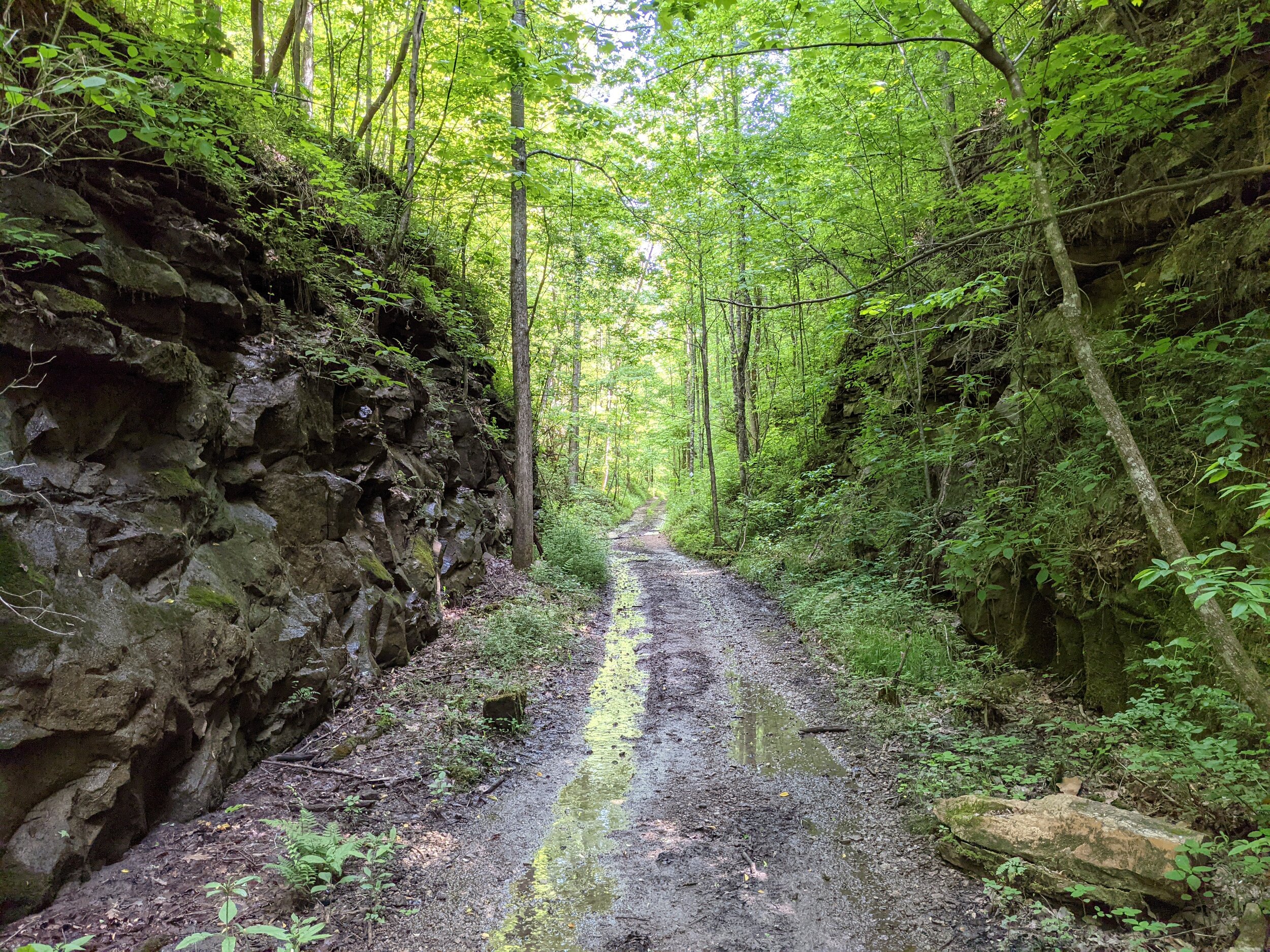
Mining Road Cut-Through, Stearns Ranger District, Daniel Boone National Forest


