Buzzard Creek Arch Out and Back
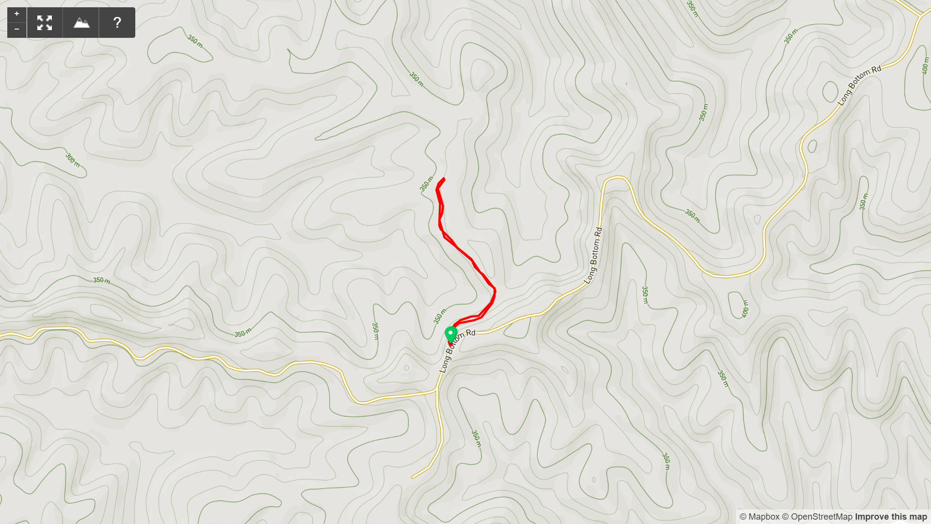
Buzzard Creek Arch Out and Back Map

Buzzard Creek Arch Out and Back Elevation Profile
Overview. It was fun seeing this arch in the distance as we drove down Long Bottom Road. The arch is a classic ridgetop beauty - even with the spray paint at its base.
Route Type | Out and Back
Total Distance | 0.71 miles
Overall Difficulty | Easy to Moderate
*this trail is unmarked, but easily navigated
GPS Waypoints
Unmarked Trailhead | 36.787064, -84.318389
Buzzard Creek Arch | 36.790908, -84.318353
Download GPX File
Download KML File
Parking. Roadside parking is available at the intersection of Long Bottom Road and Forest Road 537.
Trail navigation. Begin by walking downhill on FR-537 and follow the ridgeline. Buzzard Creek Arch is on your right (east) a little more than 3/10ths of a mile in. Retrace your steps to return to your vehicle.
CAUTION - Forest Road. This road may be inappropriate for low ground clearance 2WD vehicles - especially beyond Graffiti Rock Shelter.
CAUTION - Poisonous Snakes. Copperheads and timber rattlesnakes can be found in the area. Should you encounter one, stop and slowly back away. Always give venemous snakes a wide berth. Know Before You Go => University of Kentucky Venemous Snake Guide
CAUTION - Black Bears. Ursus Americanus - a.k.a. the American black bear is growing in population throughout much of Kentucky. Know Before You Go => US Forest Service Black Bear Safety Tips

Buzzard Creek Arch Unmarked Trailhead, London Ranger District, Daniel Boone National Forest

Approach View of Buzzard Creek Arch, London Ranger District, Daniel Boone National Forest

Buzzard Creek Arch Graffiti, London Ranger District, Daniel Boone National Forest

Back Side of Buzzard Creek Arch, London Ranger District, Daniel Boone National Forest