
Big South Fork Region
Discover some of the best hiking in the Commonwealth
About This Region
The Big South Fork Region encompasses a massive swath of forest managed by U.S. Forest Service (Stearns Ranger District of Daniel Boone National Forest) and National Parks Service (Big South Fork National River and Recreation Area).
The area’s major landform is, of course, the Big South Fork of Cumberland River. Within this range, there are hundreds of natural arches and windows, a number of gorgeous vistas, and plenty of waterfalls that are spectacular during rainy periods.
This area is less visited than the more popular Red River Gorge, but is arguably the best hiking destination in the Commonwealth.
Hikes
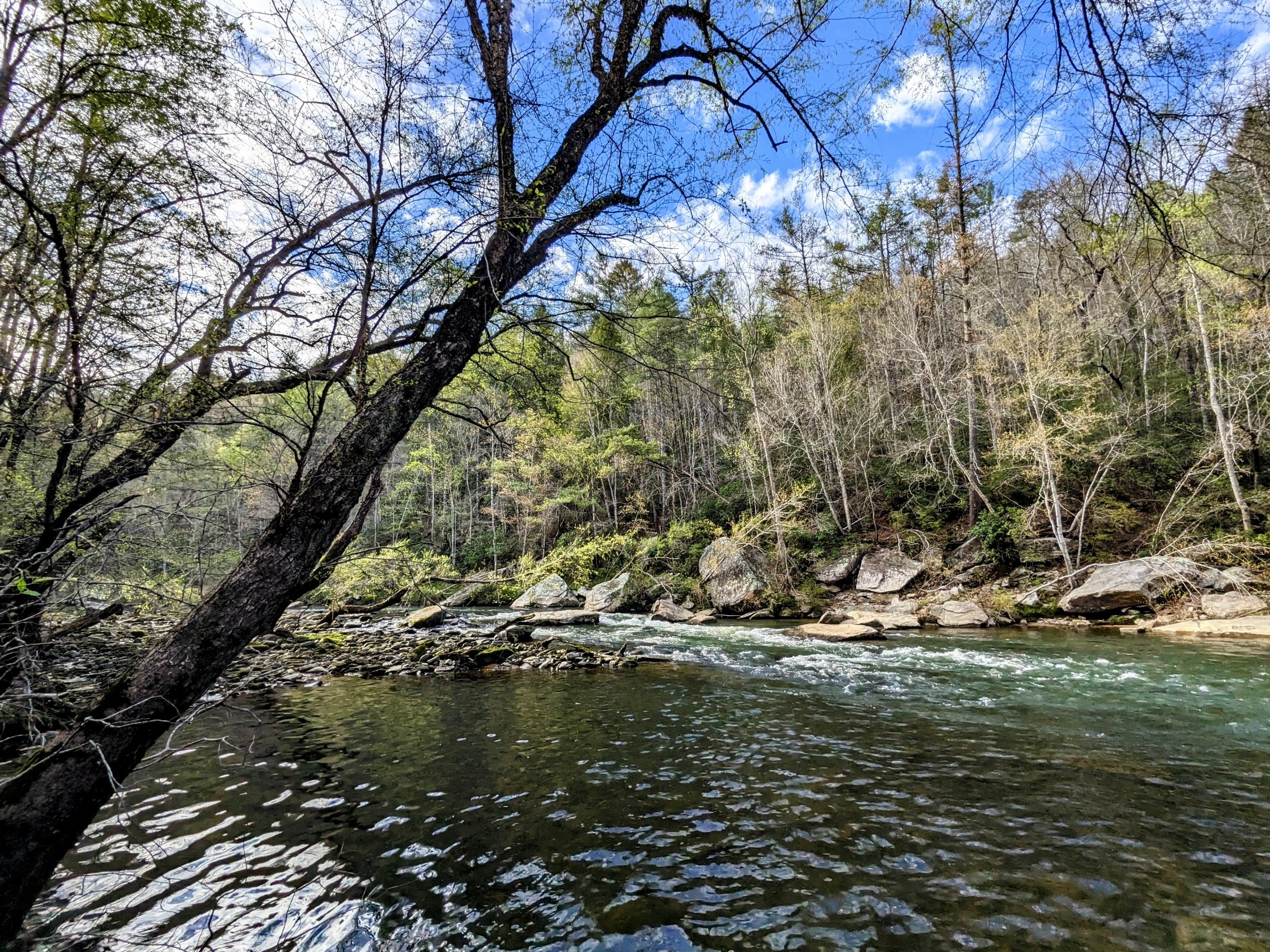
This is one of the most beautiful loops in Kentucky. We hiked this from the top to see if we could catch changing skies at the overlooks (we didn’t), but the loop has Blue Heron Overlook, Cracks in the Rocks, plenty of mining history, access to the river, Devil’s Jump, a couple beaches, and Devil’s Jump Overlook. If I’d have hiked this with LaFonda, no question we would’ve spent an hour soaking in the river.
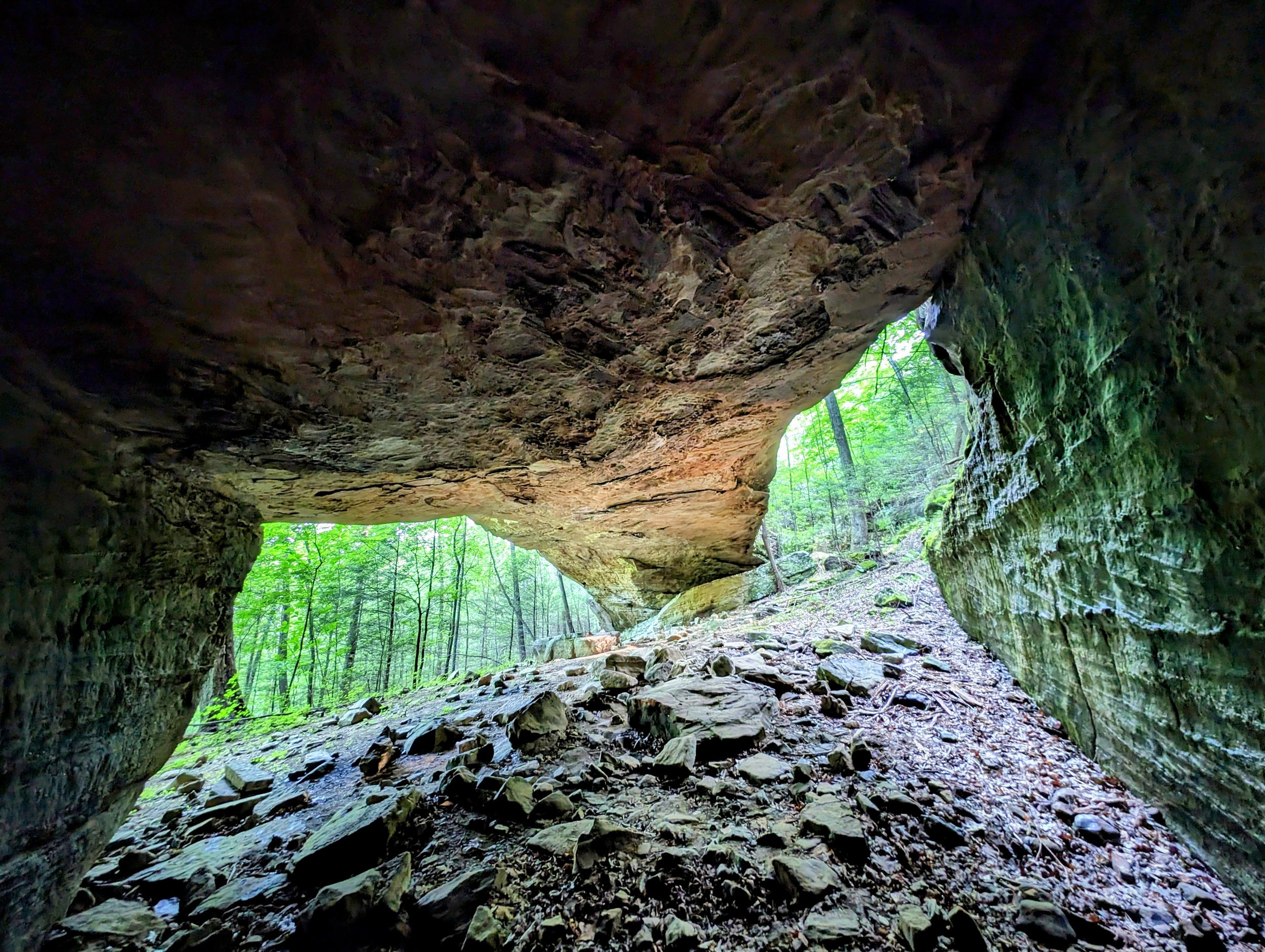
This is a short hike to an impressive arch in Big South Fork NRRA. The region is littered with arches, but this is one of the finest among them and should always be included in your itinerary when visiting this part of the recreation area. After visiting Dick Gap Overlook, stop here - parking is easier this way too!
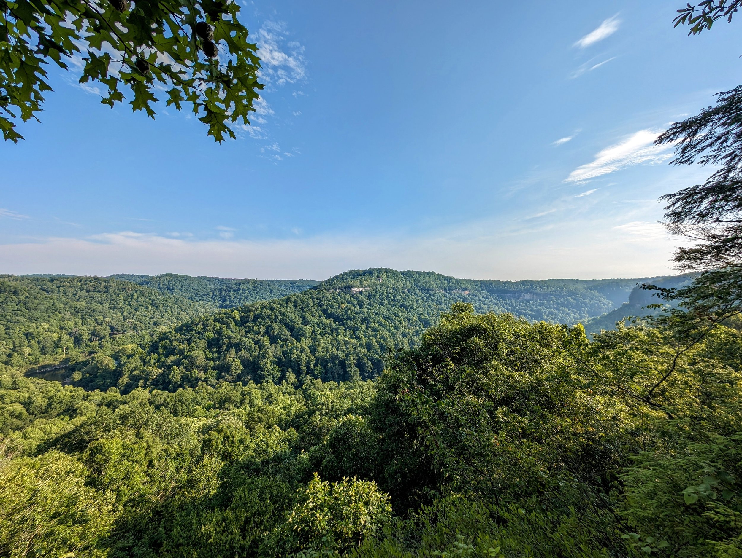
This is the easiest route to a nice overlook with a fine view of Blue Heron Mining Community down below. The trail is partially shared with horses and is a little mucky even after a few dry days. When wet, head to the waterfalls a little further along the trail - see notes below.
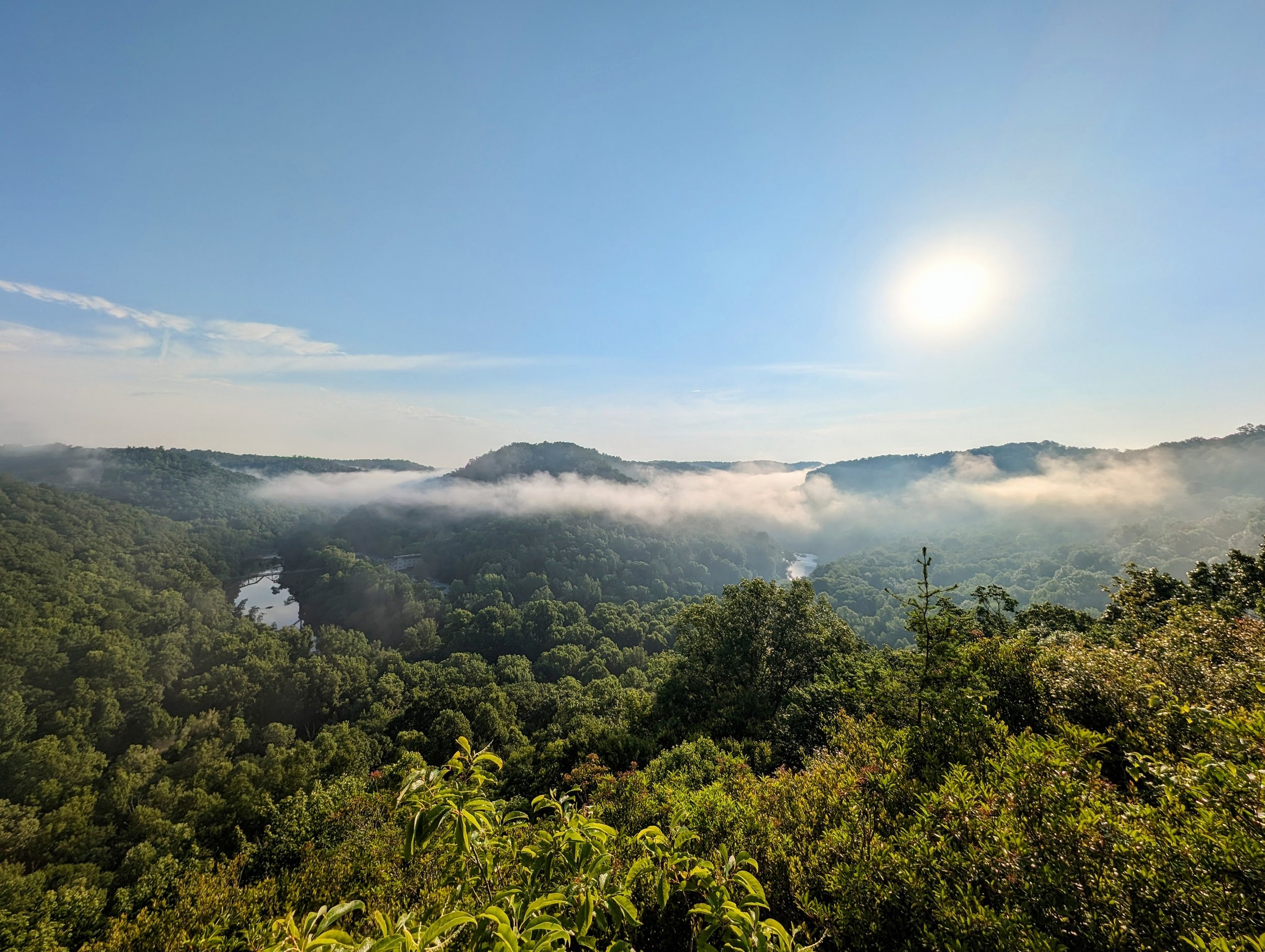
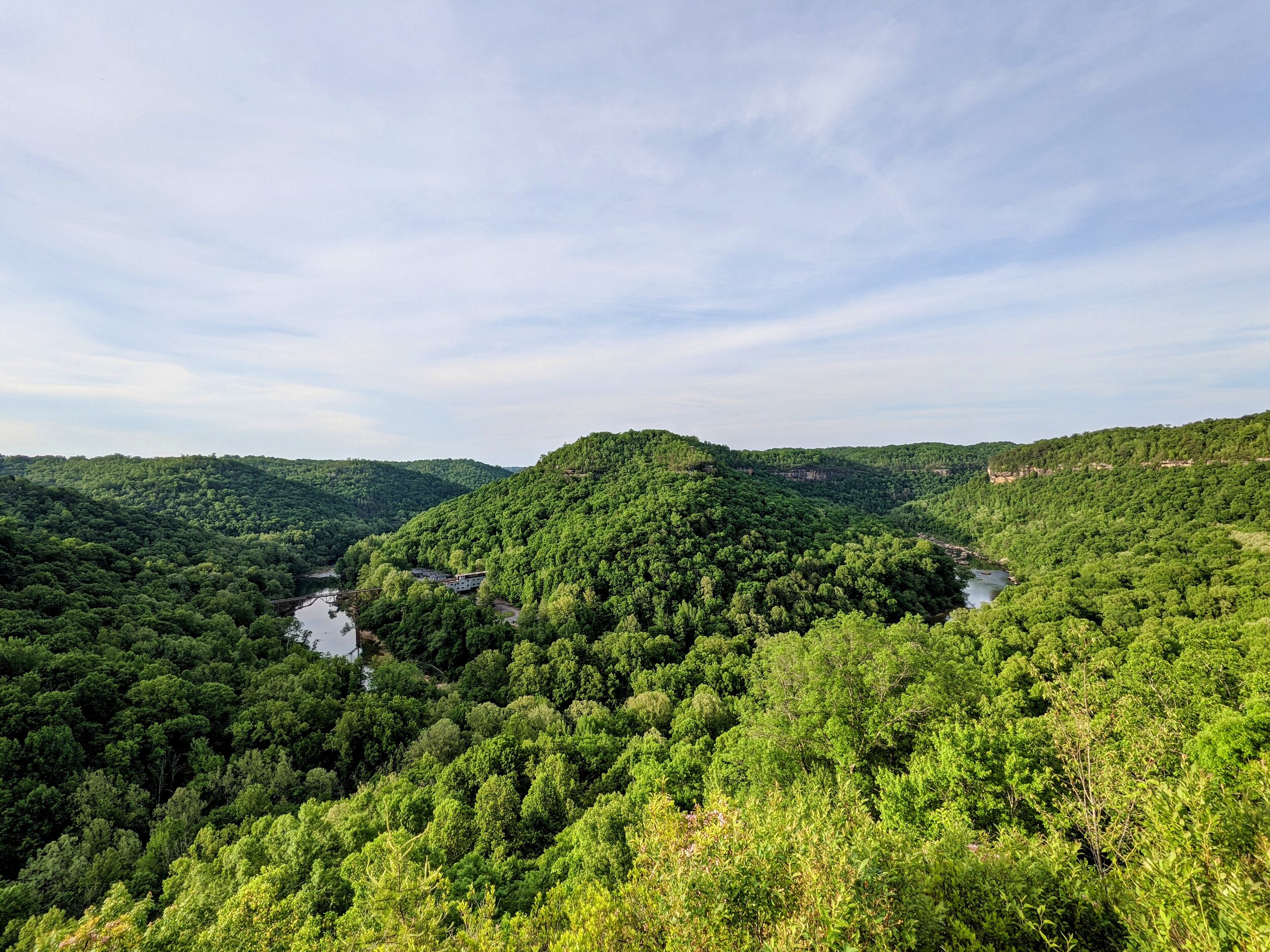
Dick Gap Overlook sits high above a beautiful bend in the Big South Fork across from Blue Heron Mining Community. The views are spectacular year-round, but nearest the summer solstice, the sun down the seam above Devil’s Jump. When fog is thick, as it was on our visit, some patience is required to wait for the fog to lift. We enjoyed a nice halo scene as a result.
This overlook delivers the goods. Situated at a bend in the Big South Fork with a commanding view of Devil’s Jump, we enjoyed some late day sun and clouds with paddlers just below the rapids.
This short out and back delivers a beautiful scene high above the Big South Fork. This overlook is nicely developed with a large deck and gazebo built atop the natural rock outcropping. When visiting the Blue Heron area, it’s always worth a quick stop.
This is a terrific short hike while visiting the region. Enjoy a seasonal waterfall, sandstone arch, and idyllic swimming hole in the Clear Fork River. I imagine in the dog days of Summer, this is the place to be in Rugby.
This forest walk leads to the historic Massengale Homesite and Spring Box in Rugby State Natural Area. Only the footers of the home remain, but the spring box is in good repair with water continuing to flow. Big South Fork NRRA is across the street to the north and Sheltowee Trace passes through town (see notes below).
An easy walk to some great views that are spectacular at sunrise. At less than a half-mile roundtrip, this is one of the classic short hikes in Kentucky. It’s also a great place to picnic, so pack some charcoal and get the burgers and dogs goin’!
This is an often overlooked arch thanks to its neighboring attractions at Yahoo Recreation Area. When visiting Yahoo Falls, Overlooks, and Arch, make a pit stop here to get the legs warm. And, notice there is a second opening on the east side of the rock formation. See the hiker note below about that.
This is one of the more interesting arches in Kentucky and a short walk in the woods. The trail takes you through the arch and is most commonly hiked as a loop. Short on daylight, we shaved a few steps off the hike with the out and back route instead.
This is one of the best sunset spots in the Commonwealth - and with Split Bow Arch next door, it’s a must-visit anytime you find yourself in the region. And, I have yet to encounter another person on my visits here that are typically on the weekends:-)
This was the first hike I did in the region many years ago, and it remains a great, short hike to one of Kentucky’s most impressive arches. The rock outcropping that seemingly comes up out of nowhere is as impressive as the arch and a beautiful walk in the forest.
This is a nice, quick walk on paved path to a developed platform looking out over Natural Arch and the Great Gulf. It’s worthy of a stop anytime you’re driving by on US-27 and additional hiking with routes ranging from a quarter mile to 6.5 miles on Buffalo Canyon Loop.
I wear a Road ID bracelet and on it is inscribed, “Last Place > DNF > DNS.” Translated, that’s, “Last place is better than did not finish is better than did not start.” Coming in undertrained and in conditions that I’d rather hike than run, I hiked. A lot. And got that last place finish with only seconds to spare:-)
This is among the finest overlooks in Kentucky. Situated high above a bend in Big South Fork with Blue Heron Mining Community on one side and Devil’s Jump on the other, this is a premium vista. And in May, you get to see plenty of mountain laurel lining the last section of trail to the overlook.
It’s always tough to know how big an arch is until you get there. Koger is a big, thick arch that’s also quite photogenic. This short hike has a little elevation gain, but it’s short, so an easy one overall. This is a natural pairing with Princess Falls and/or Dick Gap Overlook.
I’ve always hiked here as part of longer routes, so the day before a 50K race made for a great reason to hike the short version. Princess Falls is among the more playful waterfalls in Kentucky and typically has decent flow except during significant droughts. Along the way, enjoy Julia Lynn Falls that was trickling after a dry stretch, but is gorgeous with recent rains.
This is a nice, short loop through some mixed forest on mostly double track gravel road. Named for the Alpine community that once lived and worked coal mines here, the trail features plenty of wildflowers, an old cemetery, and remnants of the mining operations here.







This year, I posted a DNF (Did Not Finish) and while a DNF hurts, this one is still hurting weeks later as I write this. Somewhere around mile 6(?), I planted my foot, the rock shifted, and I took a hard fall on my chest and face.