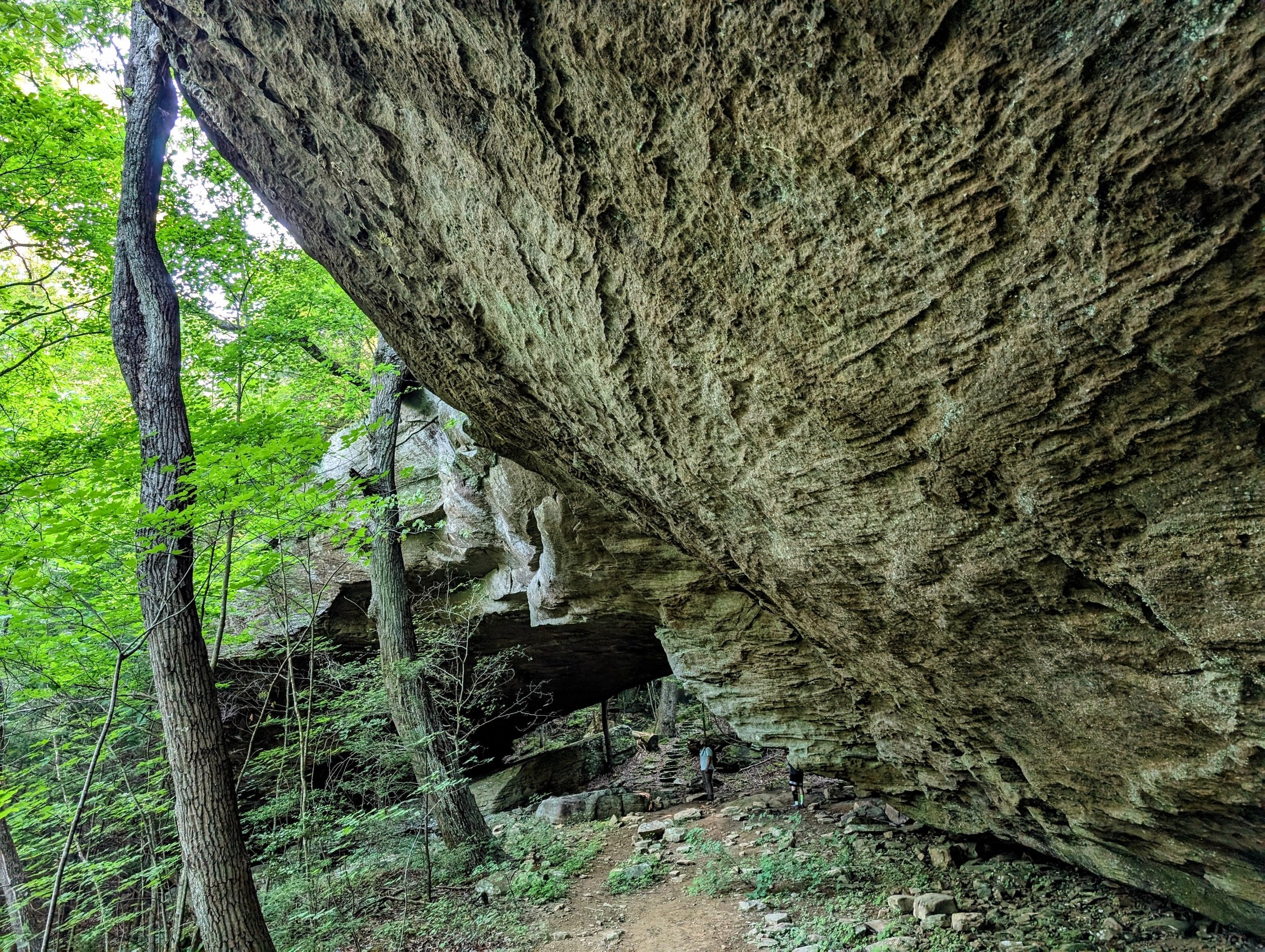
Koger Arch Out and Back
Overview. This is a short hike to an impressive arch in Big South Fork NRRA. The region is littered with arches, but this is one of the finest among them and should always be included in your itinerary when visiting this part of the recreation area. After visiting Dick Gap Overlook, stop here - parking is easier this way too!
Route Type | Out and Back
Total Distance | 0.65 miles
Elevation Gain | 118 feet
Physical Demand | Easy
Navigational Skill | Beginner
GPS Waypoints
Roadside Trailhead | 36.692856, -84.563728
Koger Arch | 36.695600, -84.562200
Big South Fork NRRA Area Map
Blue Heron Area Map
Parking. Limited roadside parking for maybe up to 4 vehicles is available at the trailhead on the east/northbound side.
Trail Navigation. Cross the stream and move uphill. Spot a large boulder and hook left to follow the trail. Continue uphill until reaching the arch. Enjoy the scenes here and retrace your steps to return to the trailhead.
HIKER NOTE - McCreary County Goodies. This is one of the best counties in Kentucky to enjoy the outdoors with plenty of arches, waterfalls, and overlooks to keep you busy. While many of these goodies are off trail, there’s plenty to see on trail at well developed areas within Big South Fork National River and Recreation Area and in surrounding Daniel Boone National Forest.
CAUTION - Poisonous Snakes. Copperheads and timber rattlesnakes can be found in the area. Should you encounter one, stop and slowly back away. Always give venomous snakes a wide berth. Know Before You Go => University of Kentucky Venomous Snake Guide
CAUTION - Black Bears. Ursus Americanus - a.k.a. the American black bear is growing in population throughout much of Kentucky. Know Before You Go => US Forest Service Black Bear Safety Tips
Road sign on southbound/west side
Koger Arch Trailhead
Very old trail sign keeping you on track
Pass this unique bolder
Approach view of Koger Arch
View from under the arch
Moving a little further uphill
Back view of Koger Arch
From approach left side of Koger Arch


