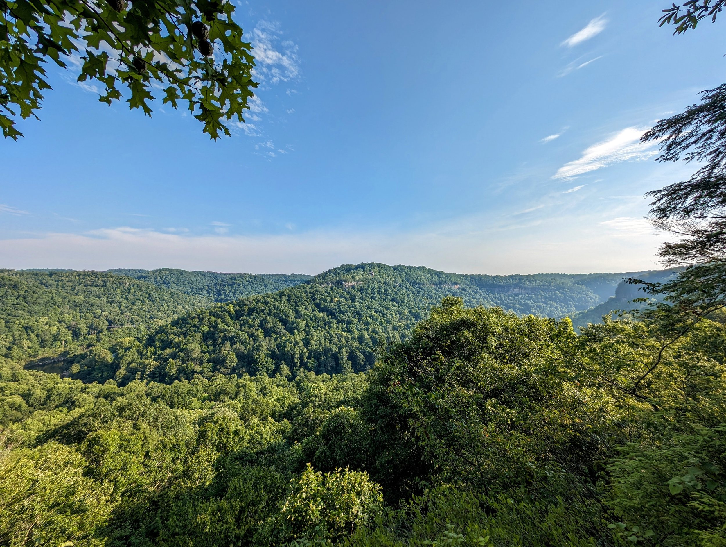
Catawba Overlook the Easy Way
This is the easiest route to a nice overlook with a fine view of Blue Heron Mining Community down below. The trail is partially shared with horses and is a little mucky even after a few dry days. When wet, head to the waterfalls a little further along the trail - see notes below.
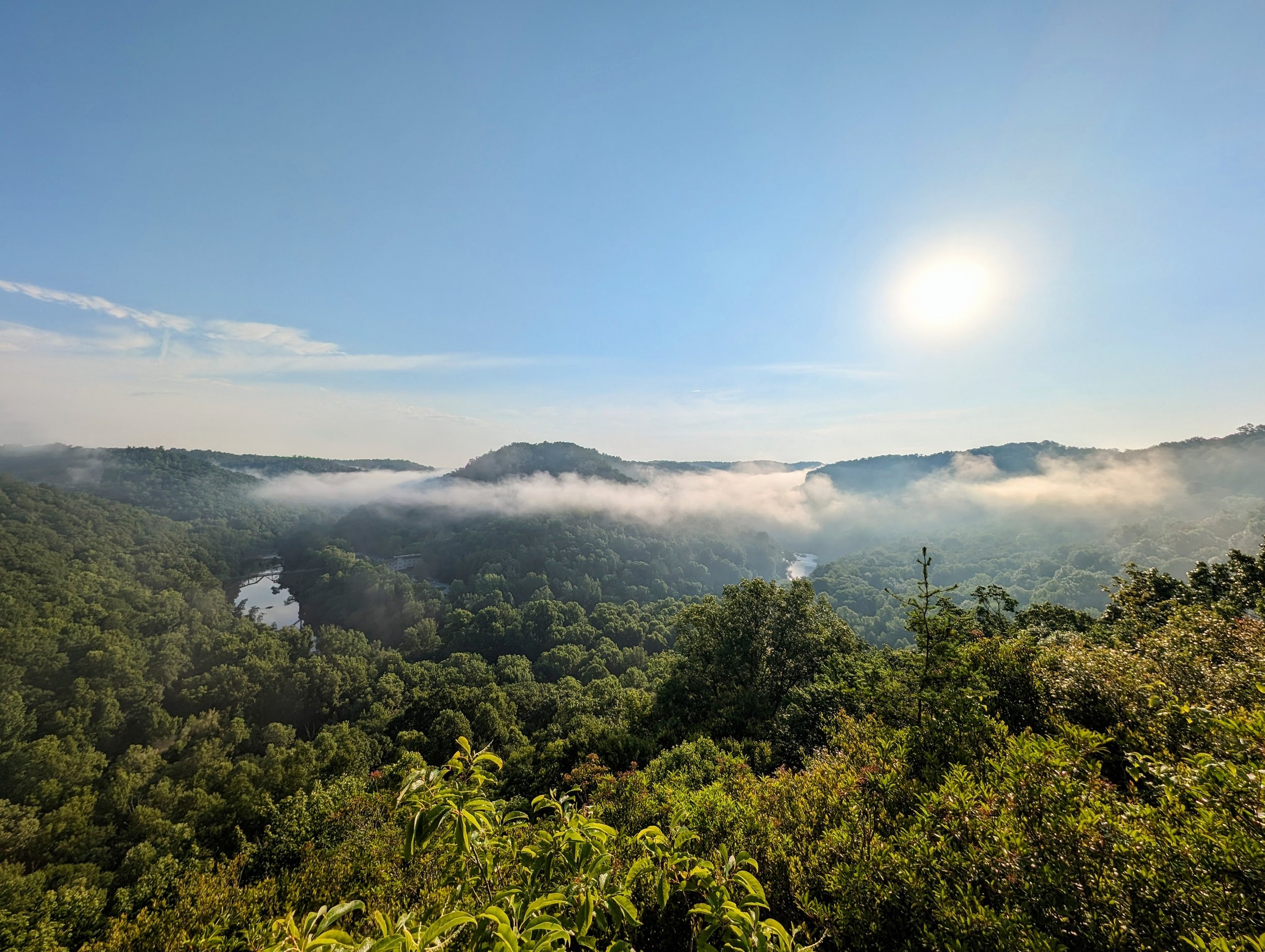
Sunrise at Dick Gap Overlook and Arch
Dick Gap Overlook sits high above a beautiful bend in the Big South Fork across from Blue Heron Mining Community. The views are spectacular year-round, but nearest the summer solstice, the sun down the seam above Devil’s Jump. When fog is thick, as it was on our visit, some patience is required to wait for the fog to lift. We enjoyed a nice halo scene as a result.
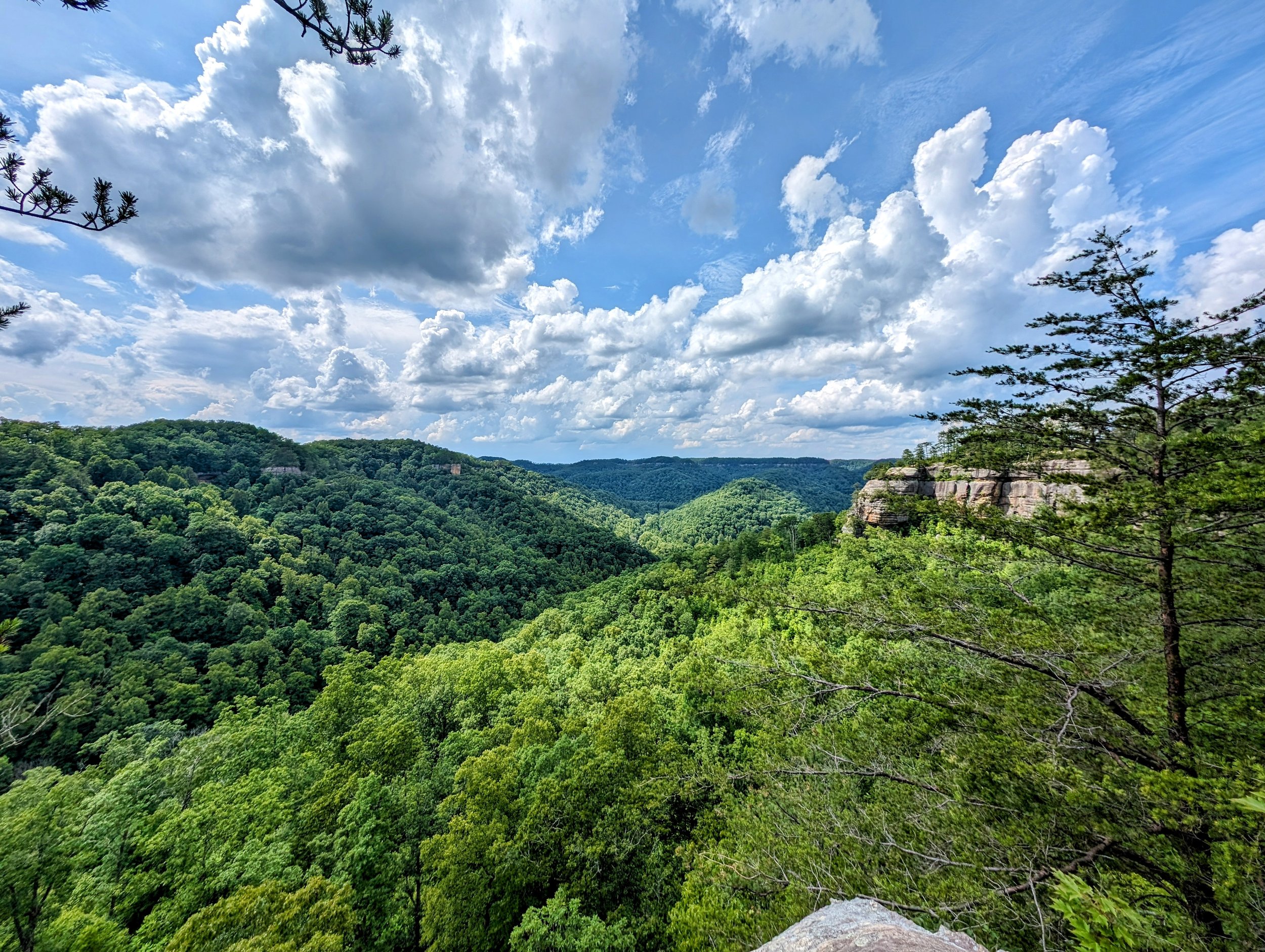
Everything Except Auxier Ridge
This is an incredibly scenic route and was especially so with the lively clouds we enjoyed throughout the day. This hike visits seven named overlooks and four arches with a handful of unnamed overlooks to go with it. Mostly ridgeline hiking, be sure to pack plenty of water and electrolytes on hot days and leave a water cache if needed (we did) because there are zero reliable water sources on the route.

2024 Carter Caves Half Marathon
The Carter Caves Half Marathon is Kentucky’s prettiest half marathon. Prior to the pandemic, this race was put on by EJ Adventures and has since been resurrected after a couple years off by John’s Run/Walk Shop out of Lexington, Kentucky. The race tours some of the iconic natural bridges and arches and the forest here is truly beautiful.
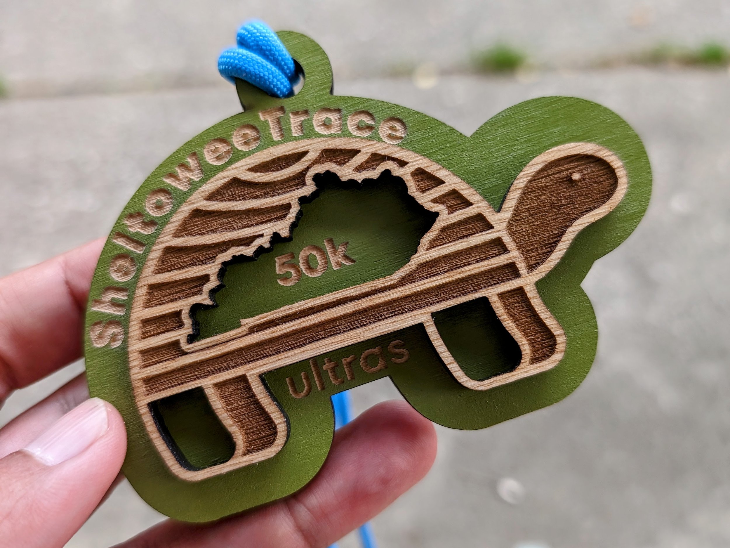
2024 Sheltowee Trace Ultras - 50K Course
I signed up for the race with my buddy, Handsome Klatzke, to celebrate his 50th birthday with 50 miles. We both put in a good block of training, but it was an unknown - neither of us had ever run 50 miles before. As of this writing, ONE of us knows what it’s like to run 50 miles, and it ain’t me:-)

Sheltowee Trace Section Hike - Scenic Alternate - Corner Ridge Road to Red River with Indian Staircase, Shawnee Arch, Frog’s Head, and Adena Arch and Overlook
This scenic alternate adds the iconic Indian Staircase along with a couple arches, plenty of views, and the expansive Council Chamber. Most find it easier to hike this southbound to take advantage of the net descent and provide uphill access to Indian Staircase. Scrambling is required.
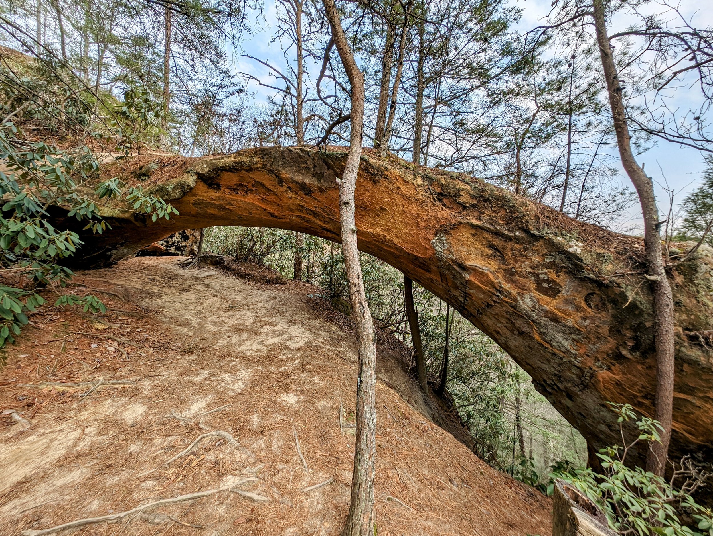
Sheltowee Trace Section Hike - Standard Route - Red River to Corner Ridge Road
This is the standard route for Sheltowee Trace between the backpackers’ lot on the north side of Red River and Corner Ridge Road. The Trace passes Jump Rock, Indian Arch, and Salt Fork before climbing a double track forest road to Corner Ridge.
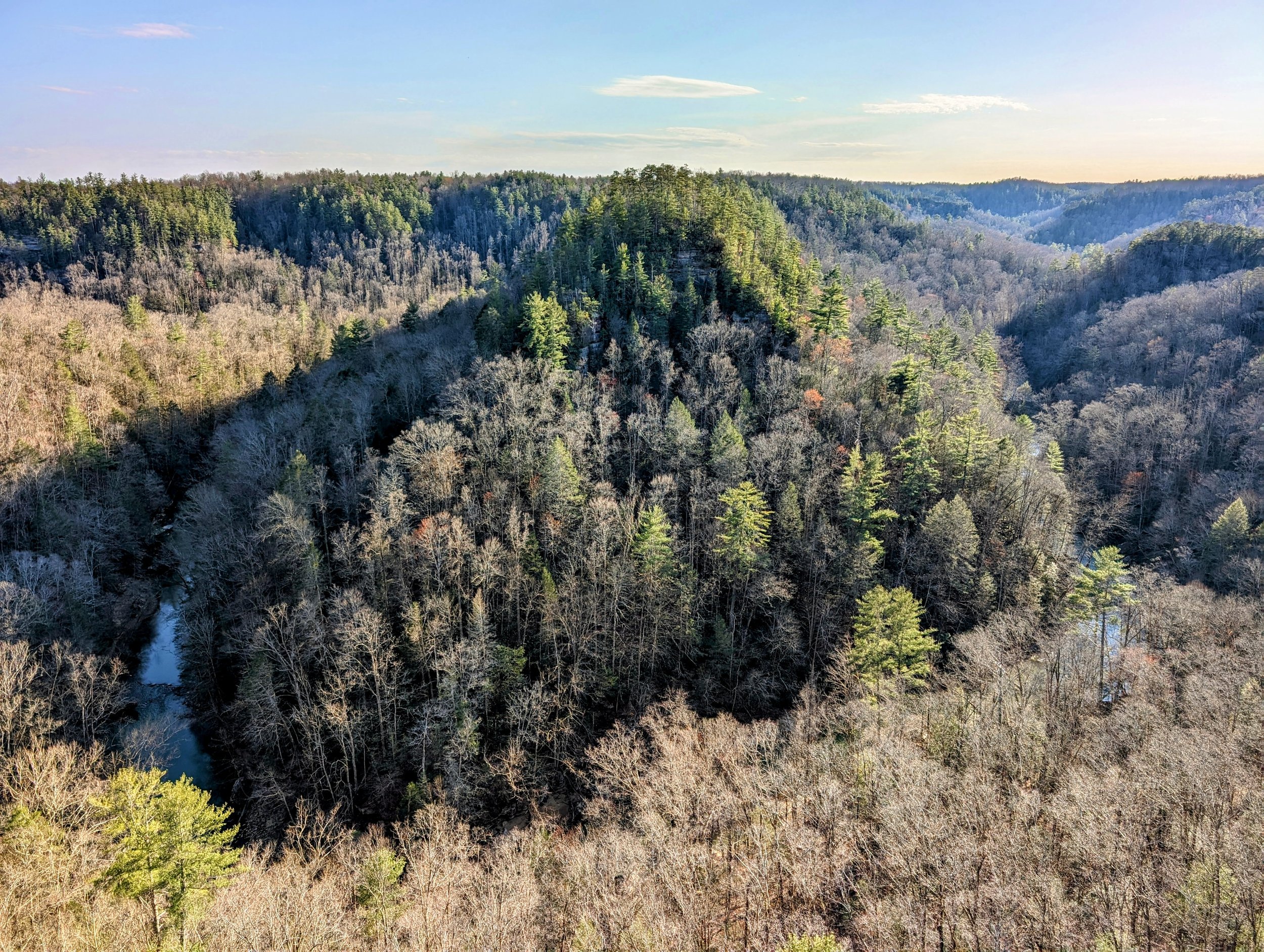
Eagle Point Buttress Scenic Loop with Unicorn, Osborne Bend, and Moonshiners Arches
This is a classic loop in Red River Gorge that visits three arches and the best south facing overlook in the region. Situated above a bend in Red River, Eagle Point Buttress provides a stunning view if you can manage a very steep section of unmarked and unmaintained trail. Be sure to read the cautions and notes below before heading out.

Henson’s Arch, Whittleton Arch and Falls, Whittleton Branch Falls, Hanson’s Point, The Veranda, and Rush Ridge Overlook Lollipop
Hike to two arches and two premium views with this lollipop route from the Whittleton Branch day use parking lot. Hike this after heavy rains and enjoy Whittleton Arch Falls and Whittleton Branch Falls too!

Ice Cone at Copperas Falls
This is a top destination after a deep freeze thanks to the accessibility and gorgeous scenes at Copperas Falls on ice. We arrived after a long cold snap that eventually formed a full ice column. We caught it mid-formation, and the ice chandelier and cone were fantastic - especially with blue skies and abundant sunshine coming through the forest. Add snow falling from the trees, and it was a magical day on trail.

Ice Cone at Bell Falls
We stopped at Bell Falls for a preview of what was to come at Copperas Falls. After a cold snap, conditions were perfect to see the frozen falls on a sunny bluebird day. This is a short walk from the road, but was a little slick thanks to a light coating of snow. During larger snow and ice events, microspikes would be an excellent idea. As it was, plain old hiking shoes were just fine.
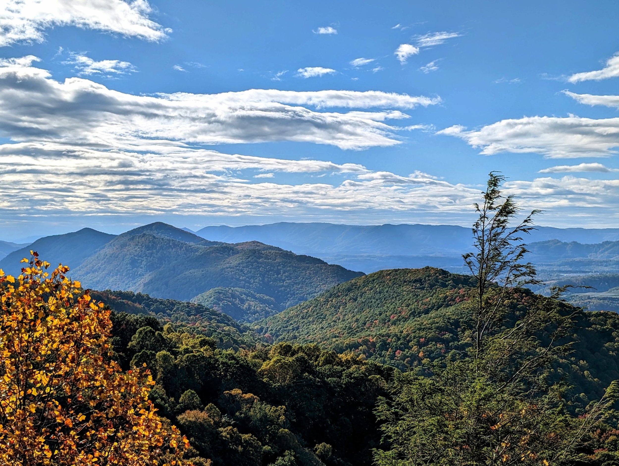
Flag Rock in Mid-October
This is a short walk to a developed and fenced overlook above the City of Norton. The forest composition is among the most beautiful for fall colors and my favorite pocket of forest in SWVA sits to the right (west) as you walk to the lower viewing area. Along the trail, you’ll see the Woodbooger statue - the local name for sasquatch/bigfoot.

Austin Gap with Ravens Nest, Staircase Caves, and Skyview Rock Shelter
This is a spectacular hike and leads to arguably the most interesting geological formations on Pine Mountain’s 120+ mile ridgeline. At the top, you’ll enjoy massive views east and south across Virginia, a pair of small caves, and an arch complex with a skylight that is absolutely stunning. BUT, you’re gonna have to work for it - see the notes below.

“Walrus Rock” at Windy Gap
This hike isn’t worth doing on its own unless you’re looking for a spot to camp and maybe a little geology after packing up - and that’s exactly what I did here. That said, read the note below for a more satisfying hike to Twin Cliffs.
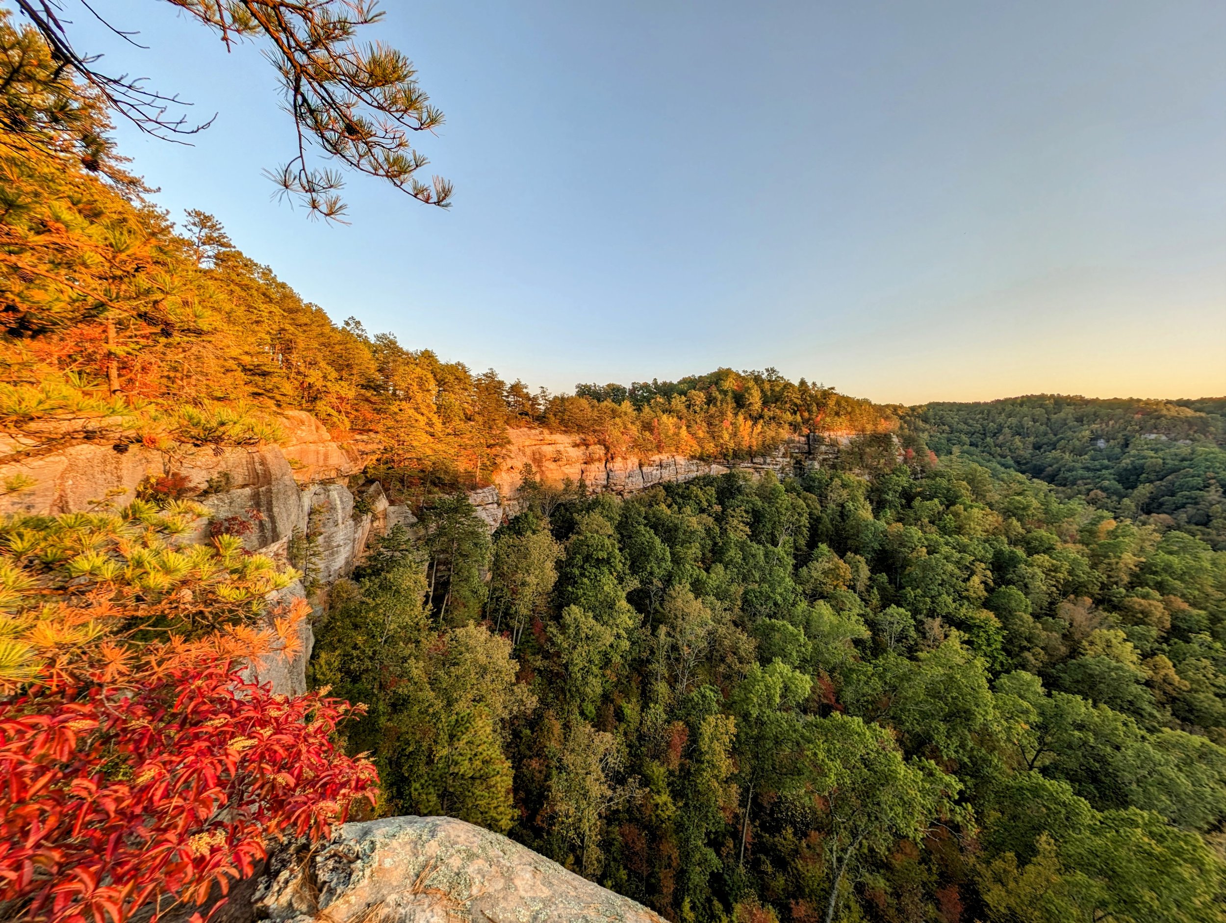
Sunset at Rainbow Point Above Rocky Branch
This is a fantastic overlook that goes by at least two names - Rainbow Point or Rocky Branch Overlook #2. Both names are appropriate, as the curved cliff wall seen from the overlook certainly resembles a rainbow, and it is the second perch above Rocky Branch. Meh, doesn’t matter much - it’s a great spot with an easy 5K walk.
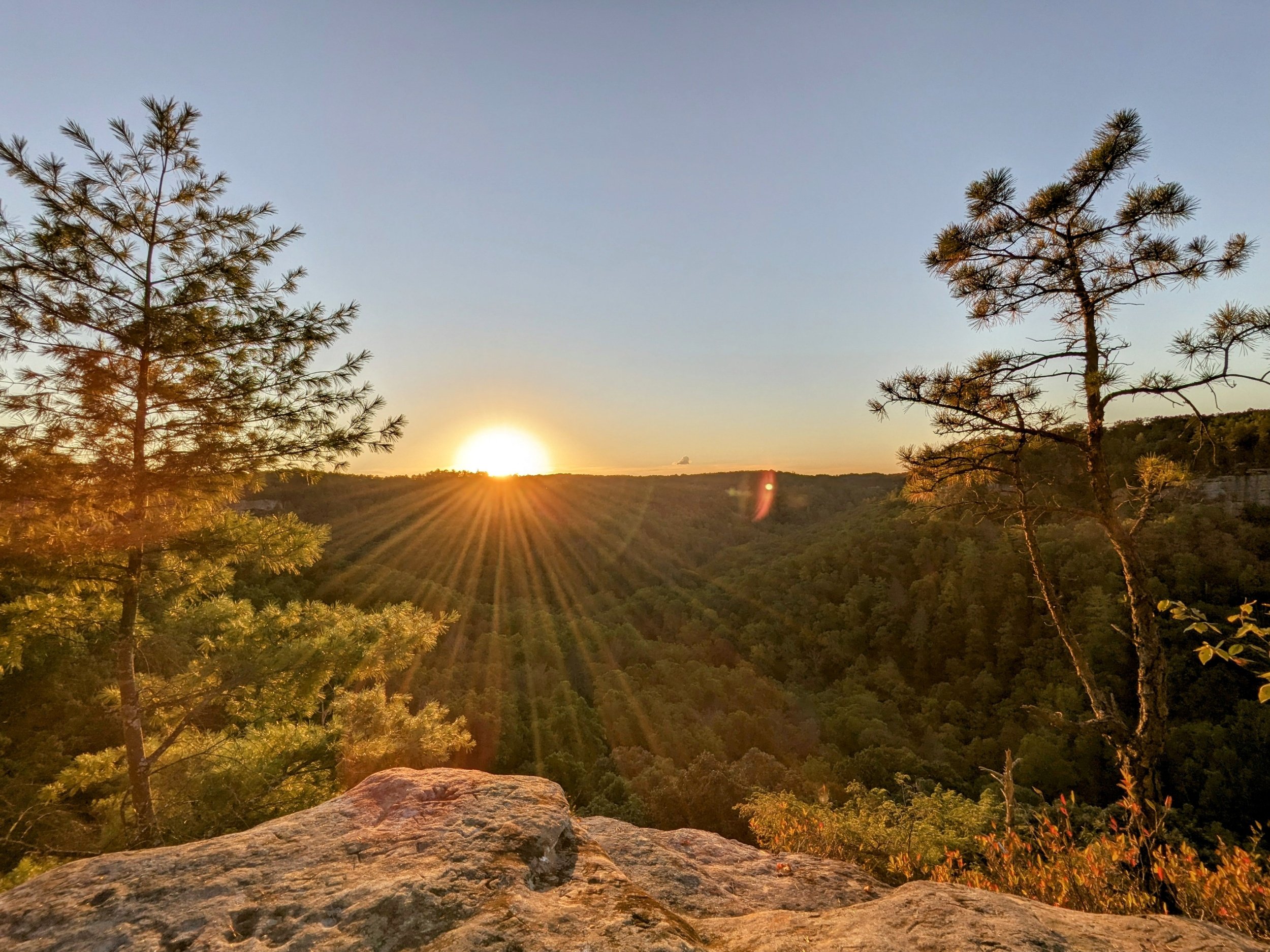
October Sunset at Buzzards Roost Central
We were a couple weeks late on the Fall equinox, but the sunset was gorgeous with mostly clear skies and warm temps for early October. This is the easiest to reach of the three overlooks off the Sky Bridge Picnic Area parking lot - we brought a chair and loads of snacks to enjoy the finish to the day.
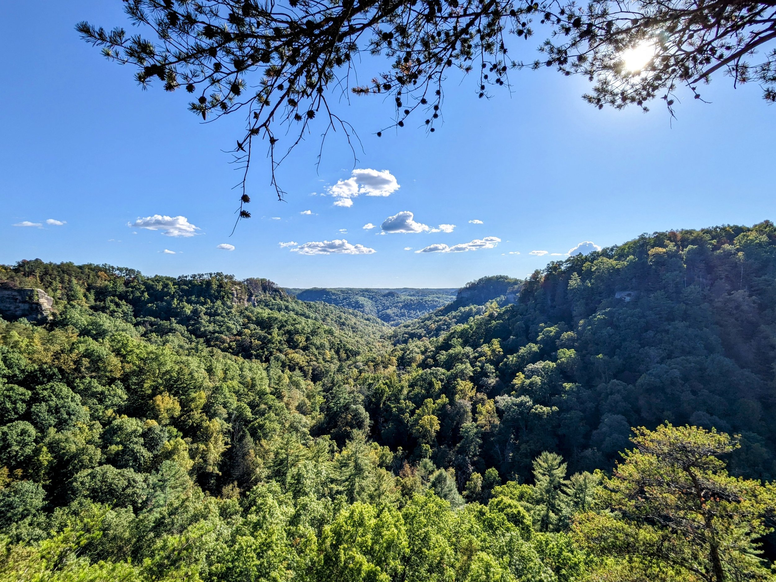
Tarr Ridge East Overlook #1 Out and Back
This is one of LaFonda’s favorite overlooks, and it’s among the best to enjoy midday in Red River Gorge. A short, easy walk leads out to a tremendous view south-southwest over Dunkan Branch. Though unmarked and unmaintained, it is well trod and easily navigated with the waypoints below or .gpx file loaded into your favorite map app.
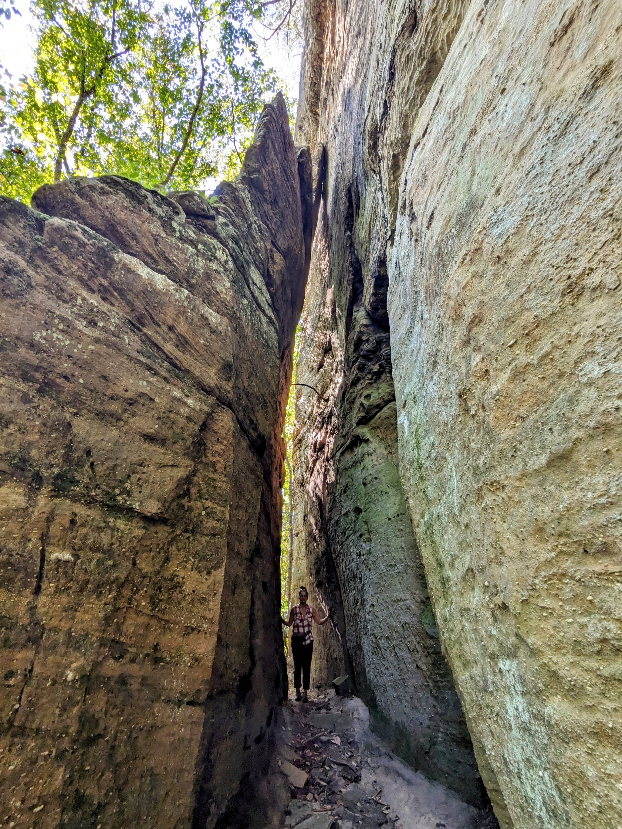
Pebble Beach Out and Back
This short hike is better known to climbers than hikers, but still provides some spectacular geology. It had been years since my last visit, but the textures of the walls and the massive leaning rock is worth the sweat required.
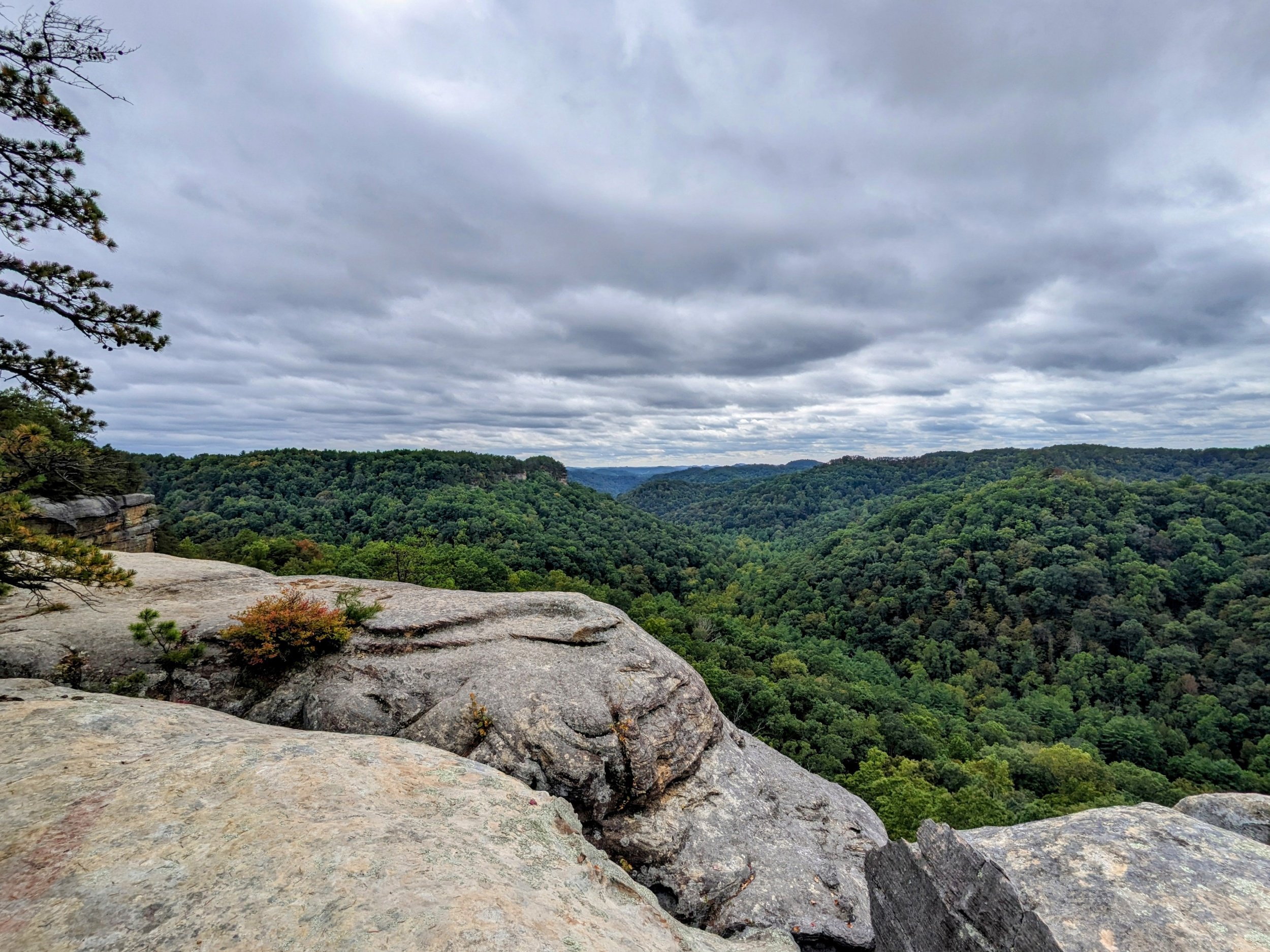
Blackburn Rock Out and Back from Hatton Ridge Road
This is one of the better overlooks in Red River Gorge and a nice sunset spot. This short route is open Spring through Fall using the very long gravel road on Hatton Ridge. Forest Service closes the road in Winter. Read the cautions and notes below before heading out.

Chimney Top Rock and Princess Arch
After getting into the Gorge, we stopped here to stretch the legs and catch some excellent views with friendly clouds overhead. This is a great hike to kickoff your time in Red River Gorge with a top notch overlook and one of the most popular arches in Kentucky.