Red River Gorge
Arches, Vistas, and Waterfalls Galore!
About This Region
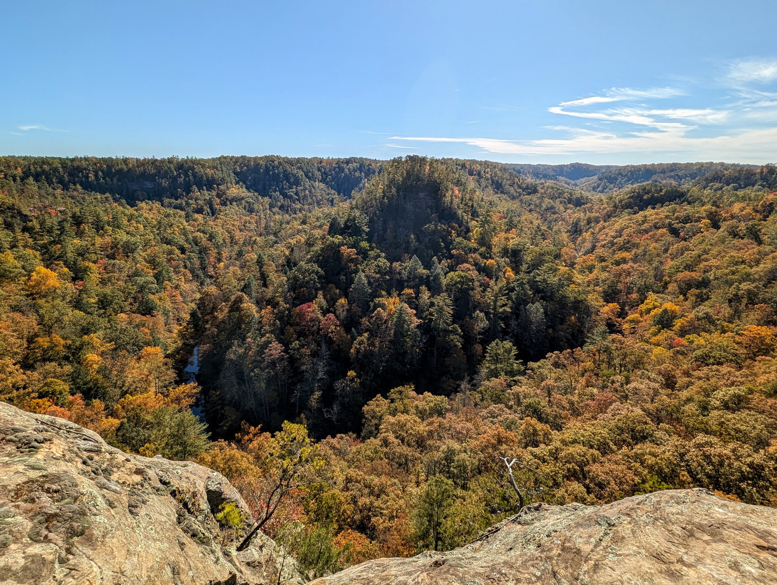
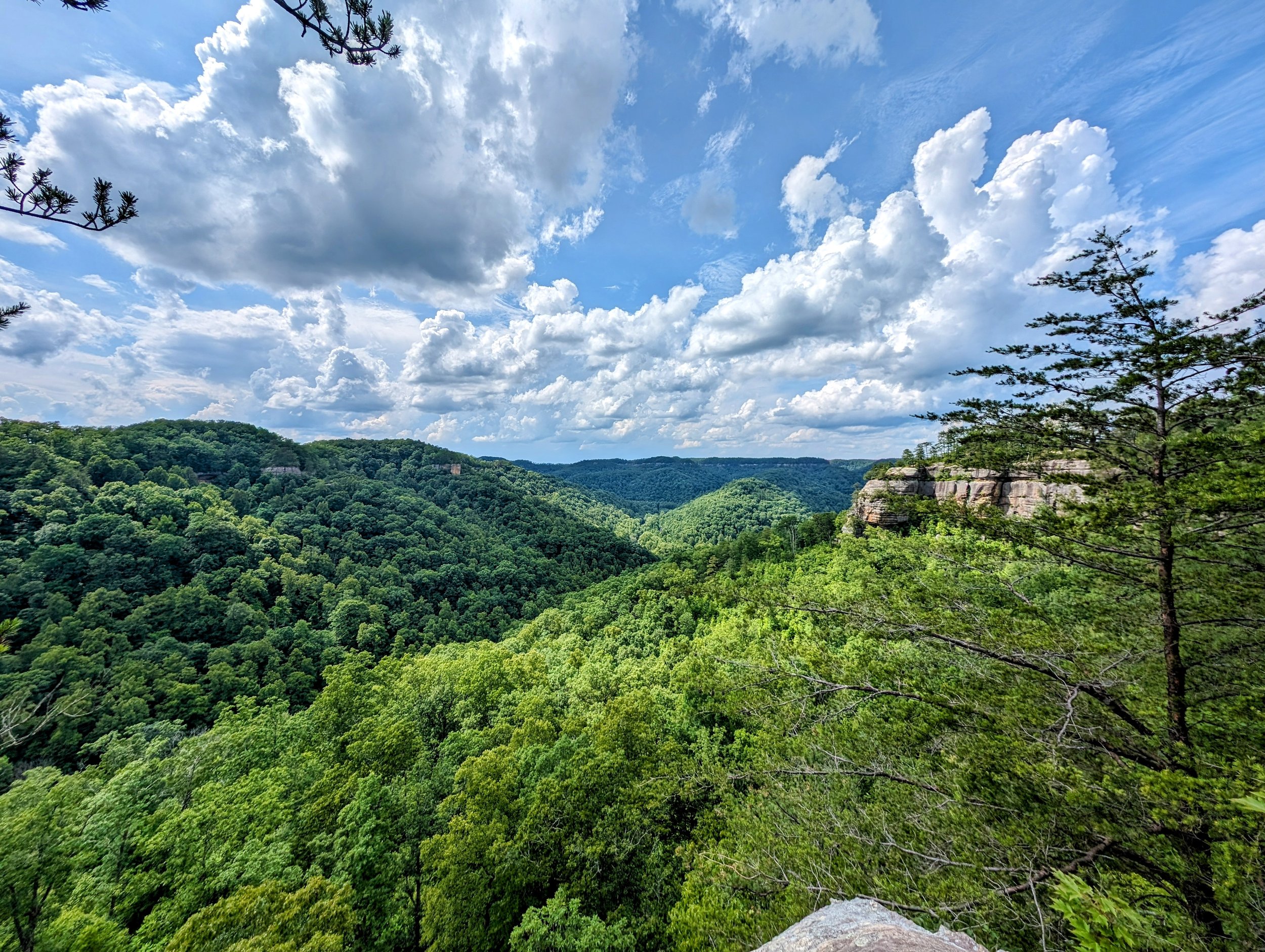
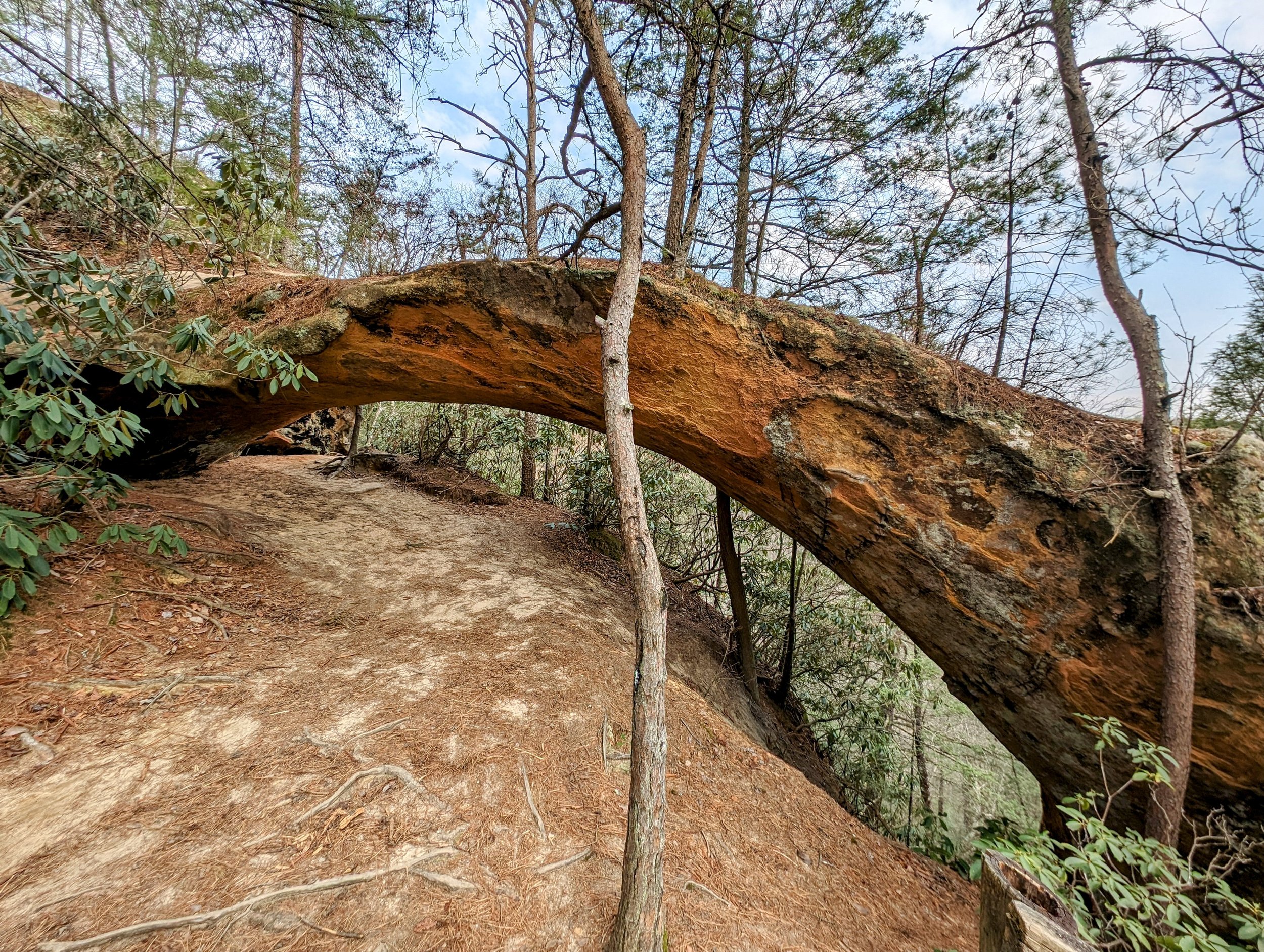
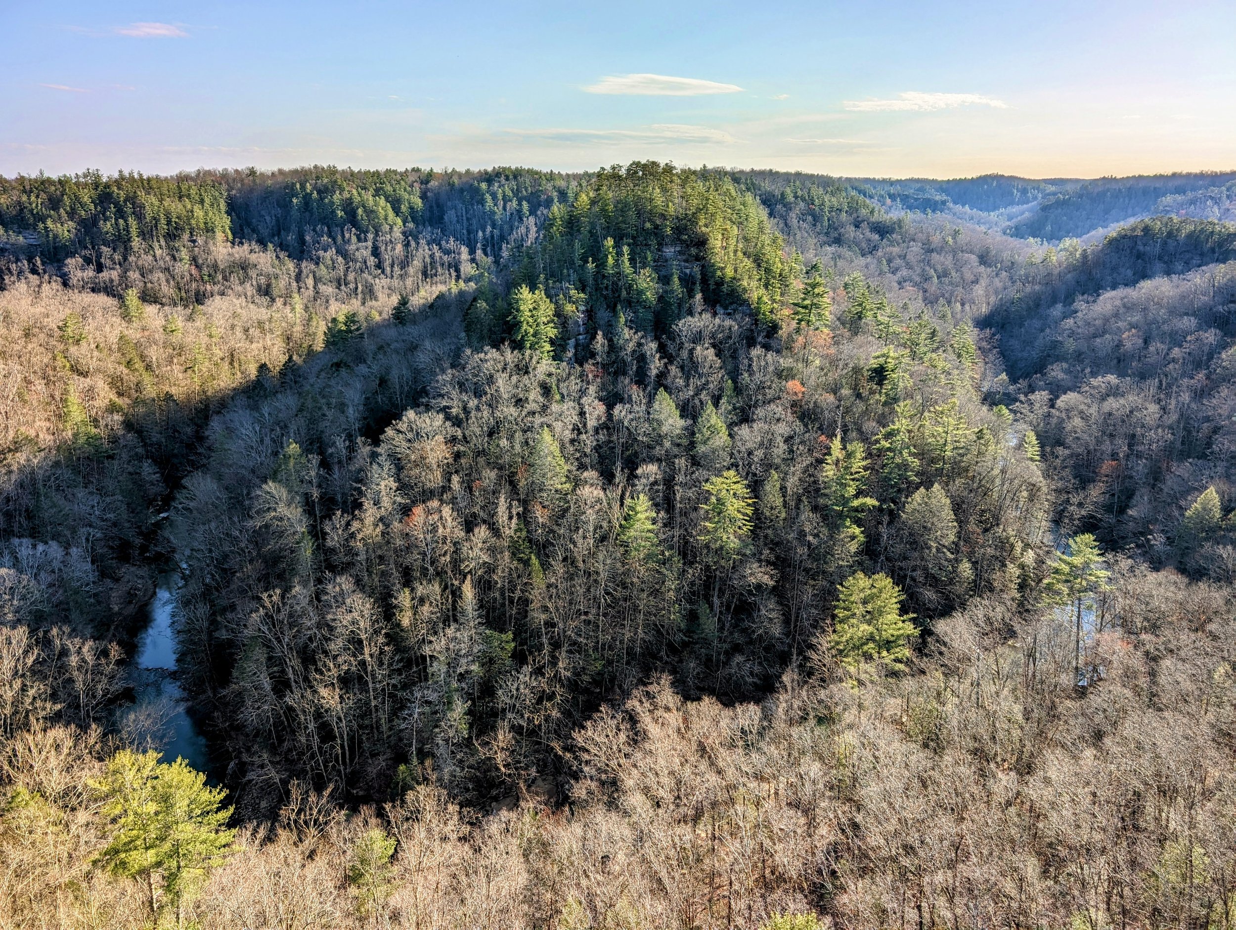
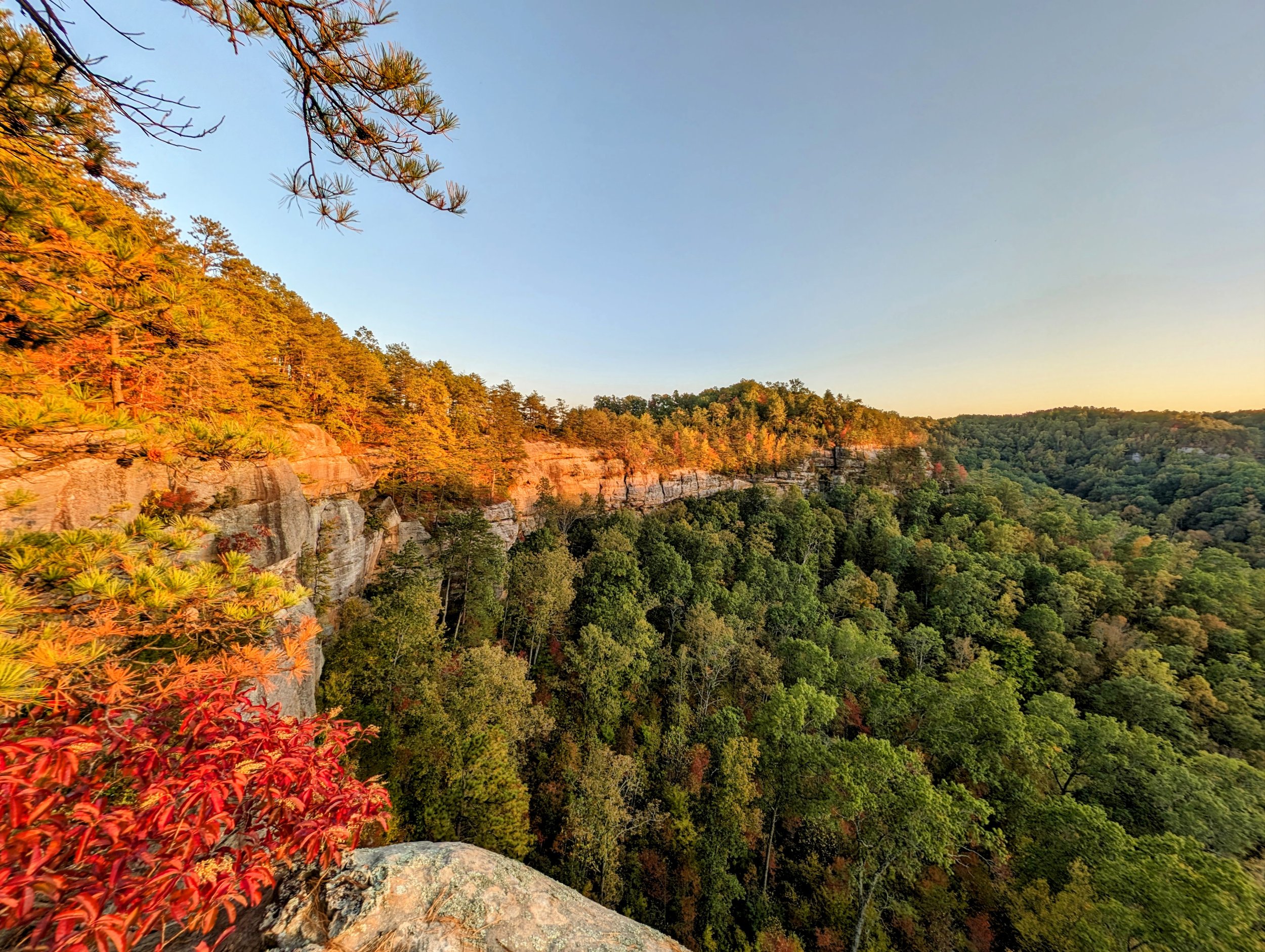
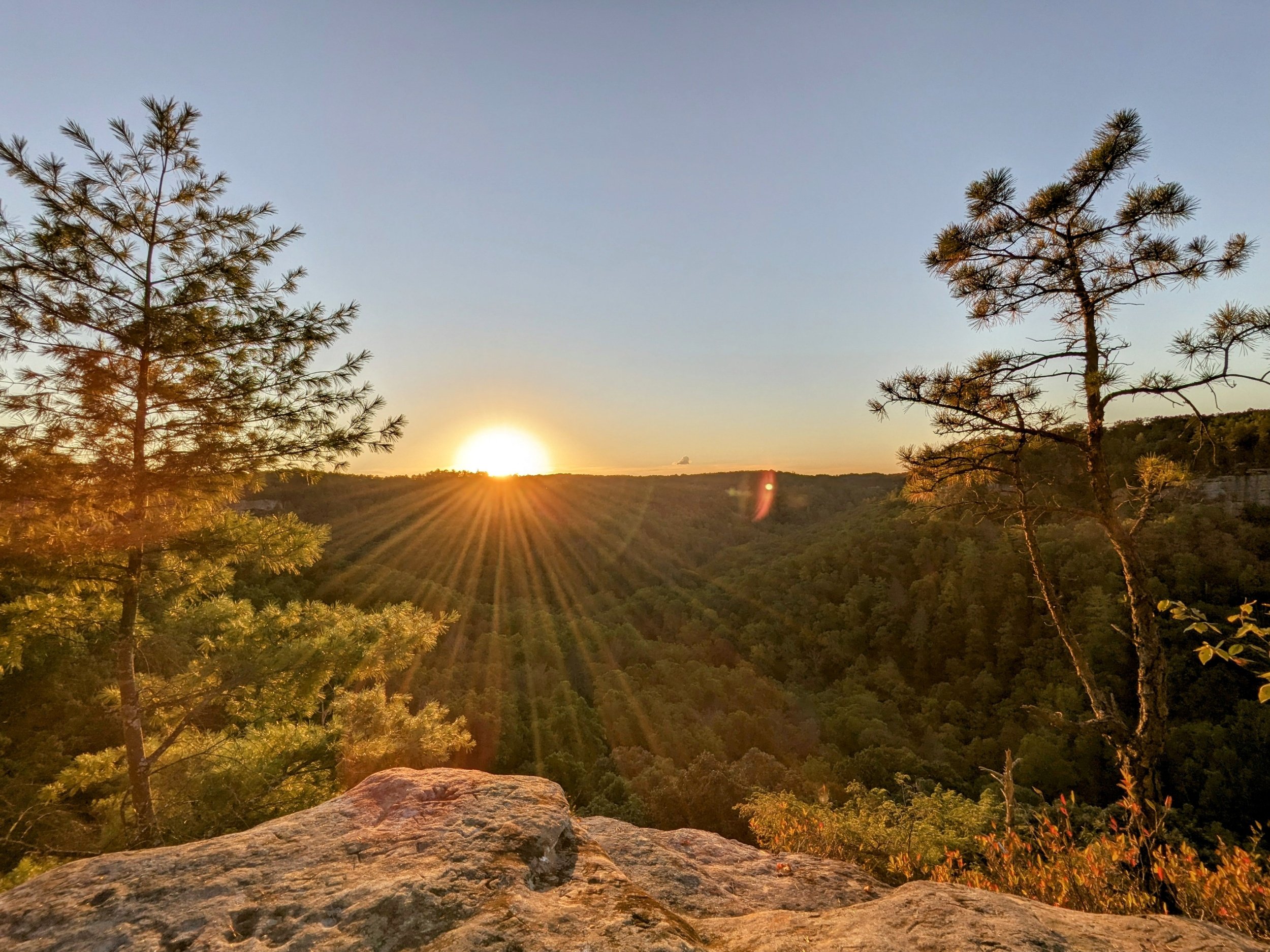
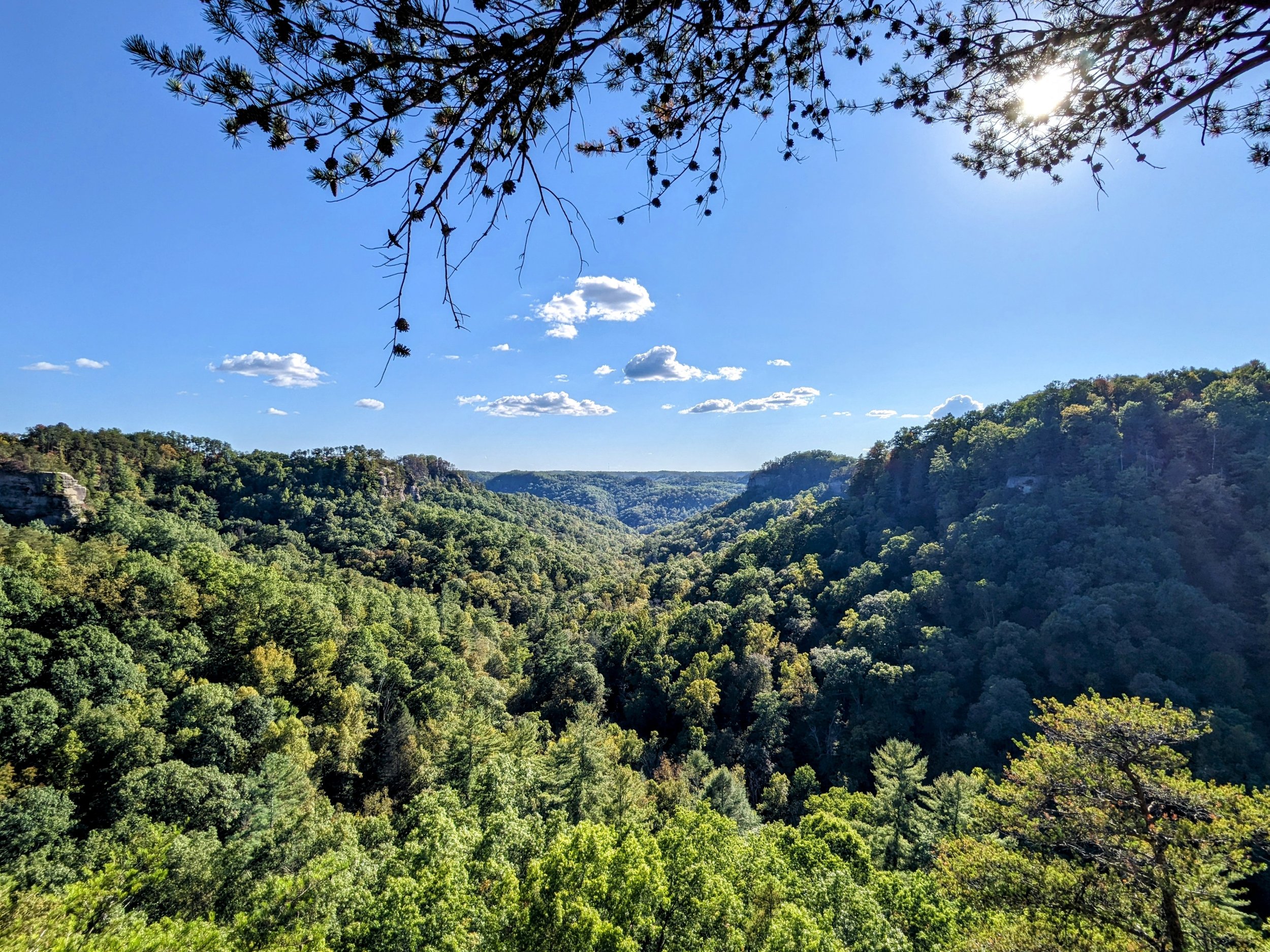
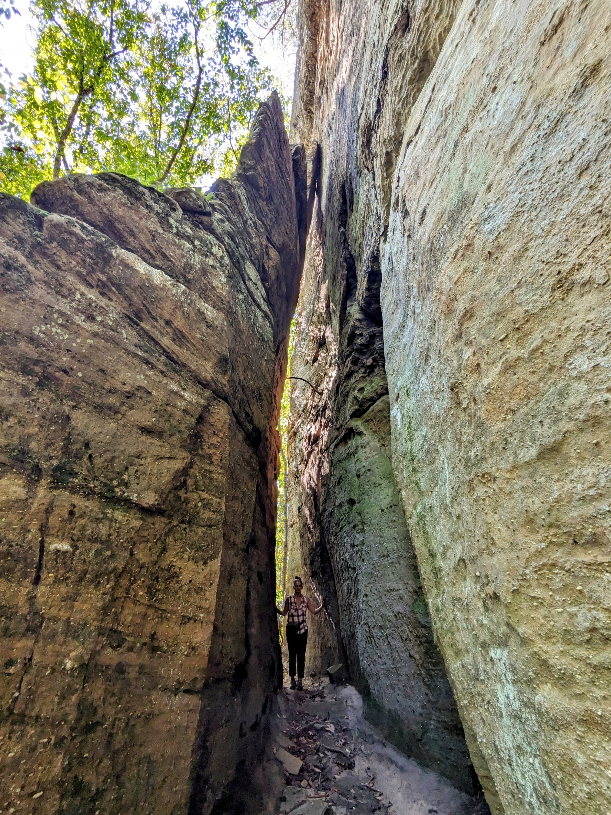
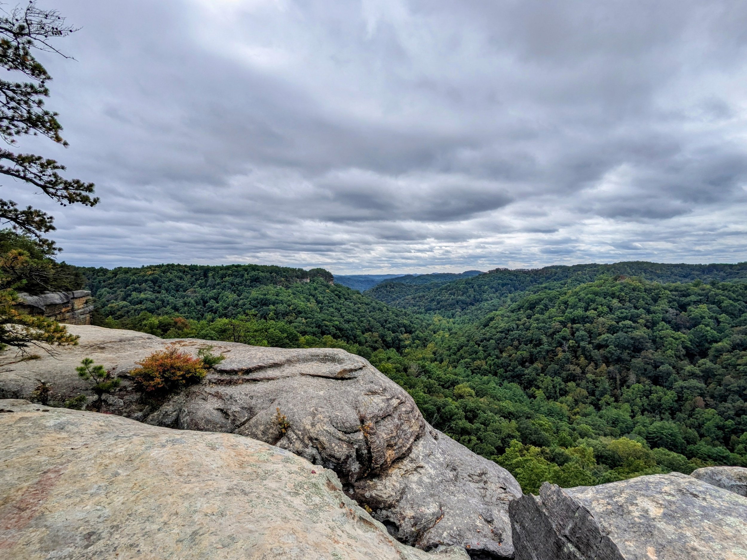
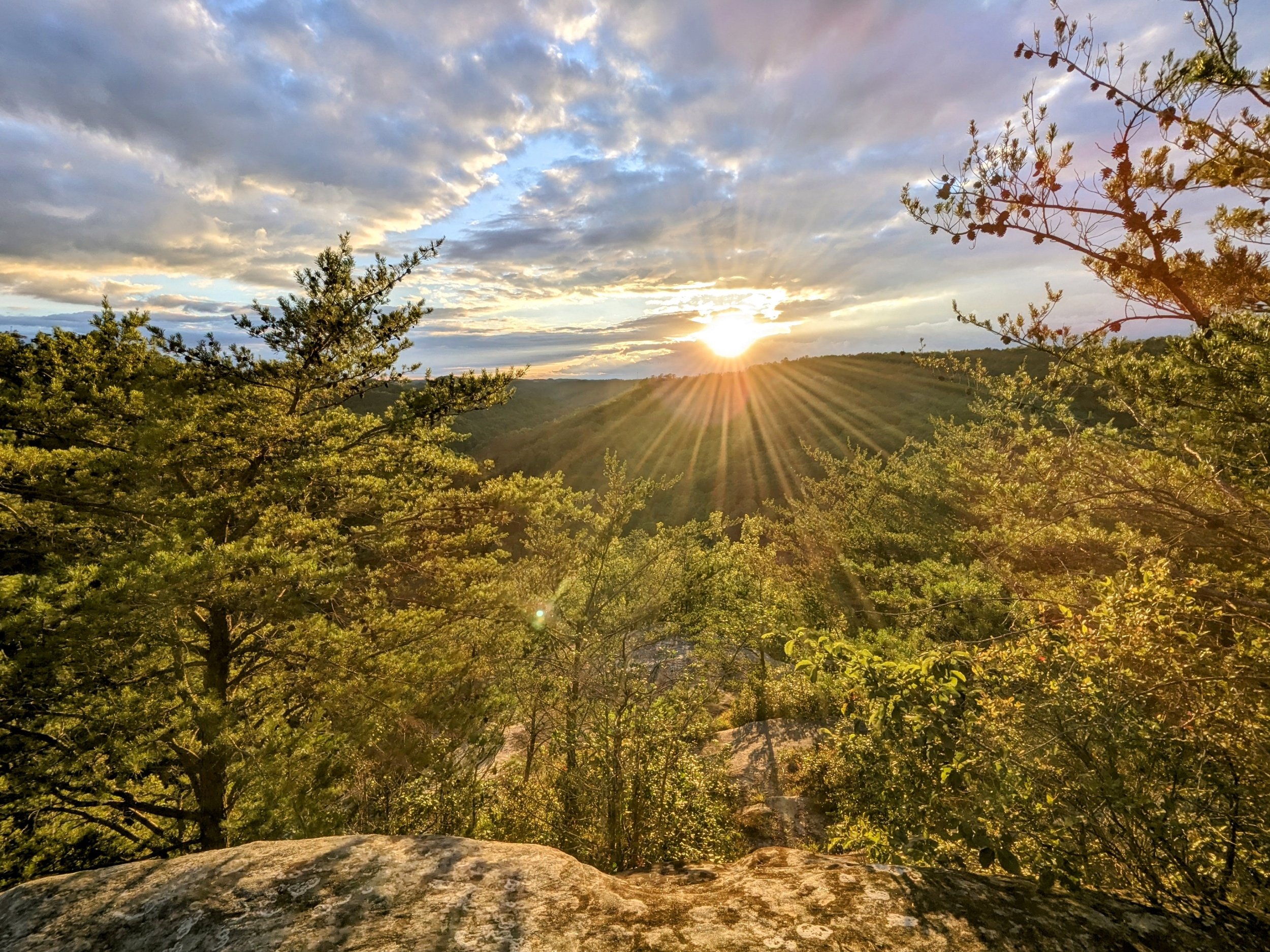
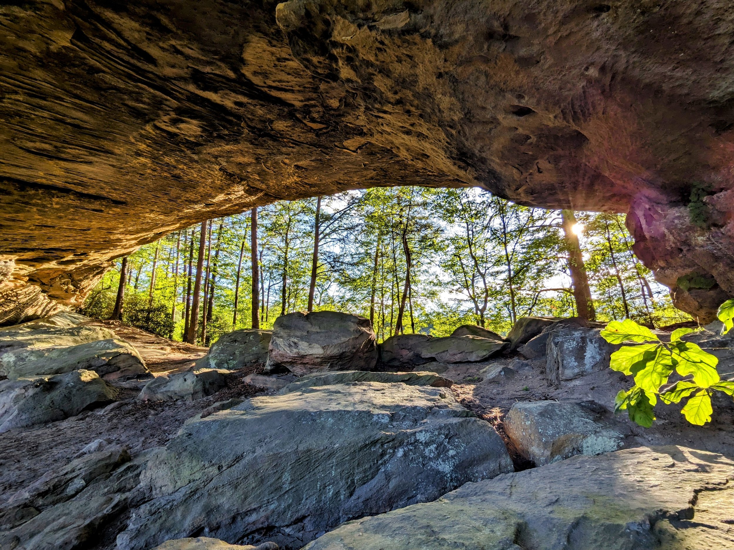
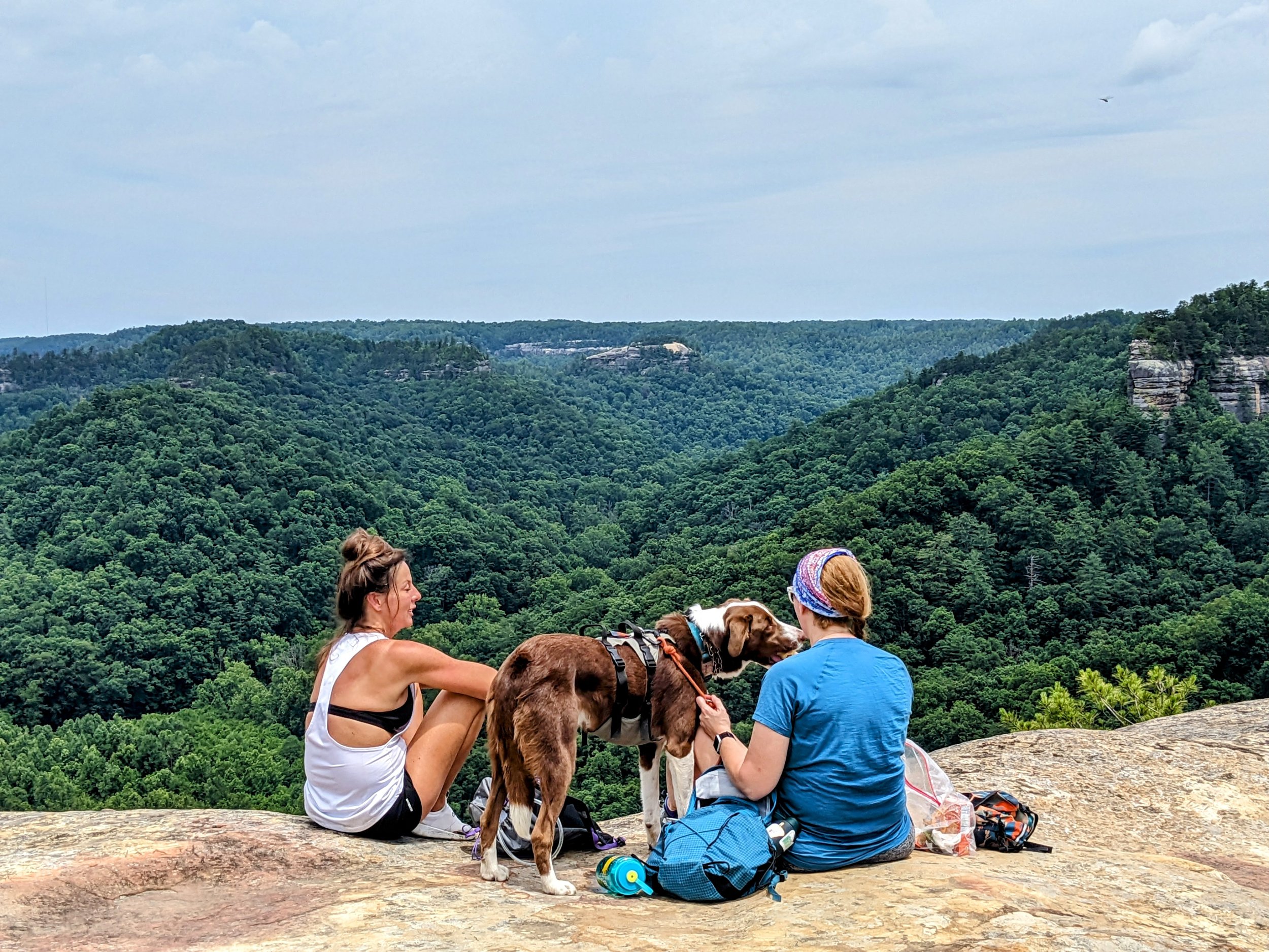
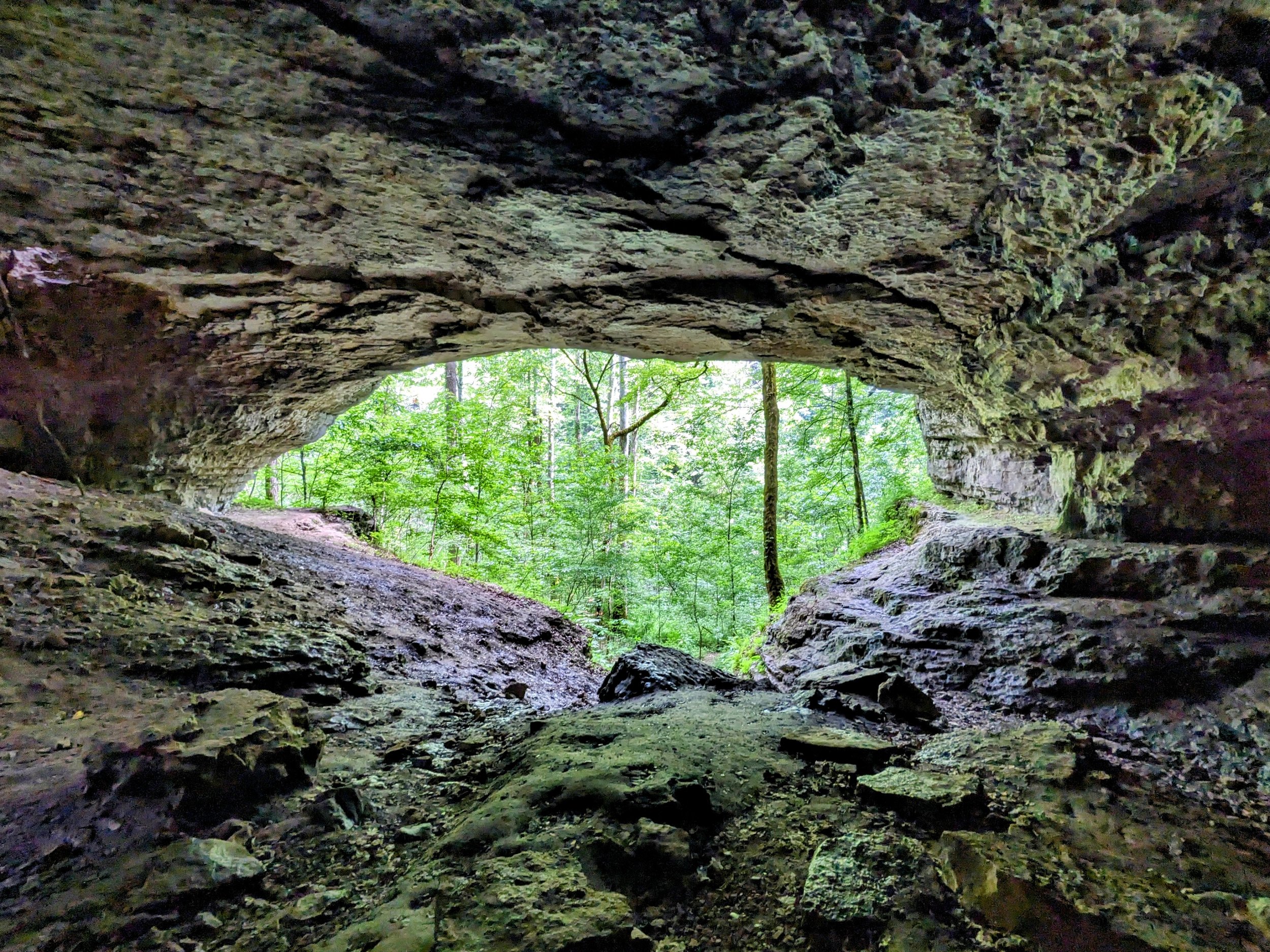
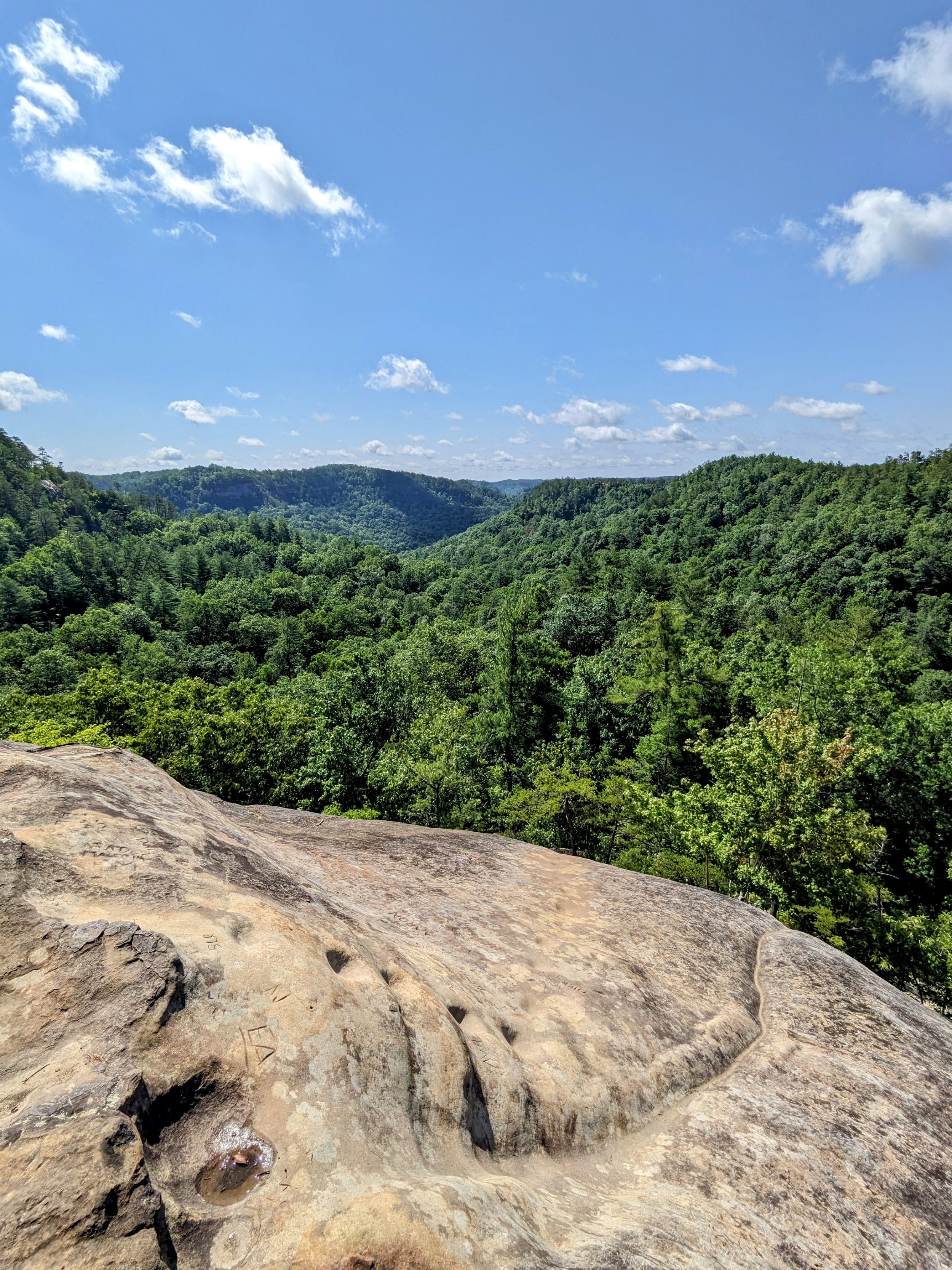
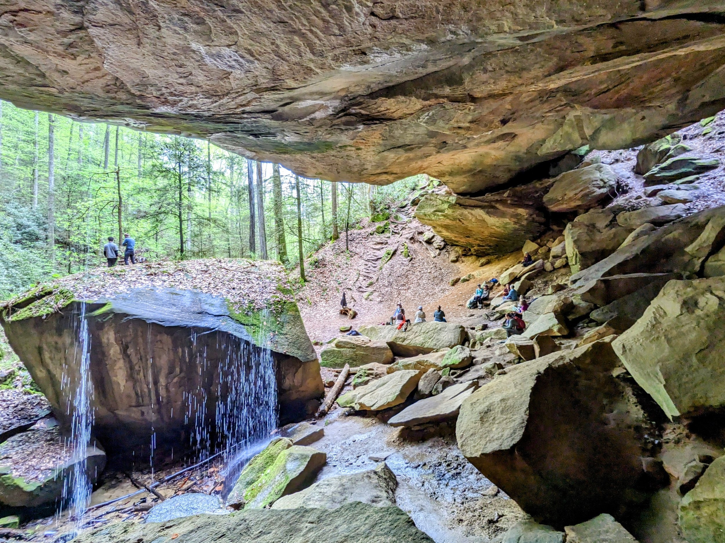
With its incredibly high density of natural sandstone arches, sweeping clifftop vistas, playful waterfalls, and (mostly) easy hiking trails, Red River Gorge is the hiking capital of Kentucky. Few places anywhere in the world can boast as many natural wonders per square mile than the Red - and the secret is certainly out.
Last year saw a massive visitation increase that has triggered an update to Forest Service’s Management Plan for the area. As this plan begins to rollout in 2021, look for changes designed to better manage crowds and to reduce negative use impacts in the region. [LEARN MORE]
Hiking Areas
Daniel Boone National Forest
Chimney Rock Road
Clifty Wilderness
Indian Creek Road
North of KY-11/-715
Rock Bridge Road
Tunnel Ridge Road
Graining Fork Nature Preserve
Muir Valley Climbing Preserve
Natural Bridge State Resort Park
Red River Gorge Climbers’ Coalition
Bald Rock Recreational Preserve
Miller Fork Recreational Preserve
Pendergrass-Murray Recreational Preserve
Hikes
This is an incredibly scenic route and was especially so with the lively clouds we enjoyed throughout the day. This hike visits seven named overlooks and four arches with a handful of unnamed overlooks to go with it. Mostly ridgeline hiking, be sure to pack plenty of water and electrolytes on hot days and leave a water cache if needed (we did) because there are zero reliable water sources on the route.
This is the standard route for Sheltowee Trace between the backpackers’ lot on the north side of Red River and Corner Ridge Road. The Trace passes Jump Rock, Indian Arch, and Salt Fork before climbing a double track forest road to Corner Ridge.
This is a classic loop in Red River Gorge that visits three arches and the best south facing overlook in the region. Situated above a bend in Red River, Eagle Point Buttress provides a stunning view if you can manage a very steep section of unmarked and unmaintained trail. Be sure to read the cautions and notes below before heading out.
Hike to two arches and two premium views with this lollipop route from the Whittleton Branch day use parking lot. Hike this after heavy rains and enjoy Whittleton Arch Falls and Whittleton Branch Falls too!
This is a fantastic overlook that goes by at least two names - Rainbow Point or Rocky Branch Overlook #2. Both names are appropriate, as the curved cliff wall seen from the overlook certainly resembles a rainbow, and it is the second perch above Rocky Branch. Meh, doesn’t matter much - it’s a great spot with an easy 5K walk.
We were a couple weeks late on the Fall equinox, but the sunset was gorgeous with mostly clear skies and warm temps for early October. This is the easiest to reach of the three overlooks off the Sky Bridge Picnic Area parking lot - we brought a chair and loads of snacks to enjoy the finish to the day.
This is one of LaFonda’s favorite overlooks, and it’s among the best to enjoy midday in Red River Gorge. A short, easy walk leads out to a tremendous view south-southwest over Dunkan Branch. Though unmarked and unmaintained, it is well trod and easily navigated with the waypoints below or .gpx file loaded into your favorite map app.
This short hike is better known to climbers than hikers, but still provides some spectacular geology. It had been years since my last visit, but the textures of the walls and the massive leaning rock is worth the sweat required.
This is one of the better overlooks in Red River Gorge and a nice sunset spot. This short route is open Spring through Fall using the very long gravel road on Hatton Ridge. Forest Service closes the road in Winter. Read the cautions and notes below before heading out.
After getting into the Gorge, we stopped here to stretch the legs and catch some excellent views with friendly clouds overhead. This is a great hike to kickoff your time in Red River Gorge with a top notch overlook and one of the most popular arches in Kentucky.
This overlook has been labeled with several names over the years, but I think I’m settled on Moreland Branch South Overlook. It’s a very fine sunset spot that is ideal from mid-September to mid-October, but on this day was our closest short sunset hiking option as the clock was ticking and clouds were moving in. It’s a relatively easy hike to a large multi-level rock outcropping. Read the notes below for details.
There are a dozen or more overlooks off the main trail along with a number of arches. This hike is the highlight reel version - taking advantage of the more expansive overlooks and dropping down to Sky View and Star Gap Arches on the way back. It is a tremendous walk that packs a ton of sights into a half-day hike with just a bit of spice with a pair of scrambles en route to the arches.
This route is a rite of passage for Kentucky Hikers, and those who travel this path won’t soon forget it. The route described here is the ‘hard way’ moving from west to east and features five steep climbs, four overlooks, four arches, and some truly magnificent forest scenes. Check the notes below for some tips to make this easier.
While many will be familiar with Sky Bridge - the incredibly beautiful double arch - relatively few visiting Red River Gorge are aware of the other unmarked overlooks in the recreation area. On this walk, we took advantage of the summer sun setting to the northwest at Buzzards Roost South while visiting Sky Bridge and Keystone Arches along the way.
If you split the gorge into quadrants with Sheltowee Trace and Red River as bisectors, this would be the northeast loop using mostly marked trails with only three unofficial user trails to Cloudsplitter, Adena Arch, and Indian Staircase. It’s a beautiful route and the road walk is made more interesting with the gorge’s incredible geology ever present. Check below for enjoyable add-ons as well.
Red River is a federally designated Wild and Scenic River, and while you can rent your kayaks downstream, you can also bring your own and launch from here. Of course, you’ll need water and wild river depths can be finicky, but it is fantastic wading after a long hike!
This is the most popular variation of this traverse with unmarked/unmaintained trail stops at Cloudsplitter, Adena Arch, Indian Staircase, Osborne Bend Arch, and Moonshiners Arch traveling mostly official trails from Sheltowee Backpackers’ Lot to Osborne Bend’s East Trailhead. Route info and navigation is for eastbound travel.
Book this tour and hike this hike. The tour is a stunning display of the geological wonders commonplace in Red River Gorge Geological Area with a total of 10 arches and a terrific clifftop view.
This is a beautiful springtime hike to a massive sandstone arch with a rotating variety of wildflowers and a small waterfall along the way. After soaking rains, a waterfall flows over the top of the arch - creating one of the most magical scenes in the Red River Gorge Region.
This is a beautiful arch that certainly calls elephants to mind. Though the walk is relatively easy, the class 3 scramble to reach the arch is on steep soil with extremely poor footing. I wouldn’t try this without rope.
This is one of the best Spring hikes in Red River Gorge with plenty of wildflowers lining the trail, a massive arch, and when the weather is right, a waterfall flowing over the top of the arch. Kids love this hike - just be sure to keep them close when you arrive at the arch.
Indian Arch is one of my favorite arches in Red River Gorge and is easily accessible on marked and maintained trails using Bison Way and Sheltowee Trace. The arch can be seen from 40 to 50 feet below as you approach, sits directly opposite Indian Staircase on the horseshoe ridge’s south end, and is magnificent when you can recognize the fullness of the arch beyond what cameras can capture.
This is the most easily accessible of the three overlooks off Sky Bridge Picnic Area with a very fine sunset scene around the equinoxes in Spring and Fall. When visiting the region, this is a great, quick sunset location that is rarely busy. This is a small overlook, so it’s best solo or with a small group.
This is a quick walk to a nice view of the Martin’s Branch/Fork drainage from just off Rough Trail. This hike is alright alright if you’re camping nearby - there are better views to be had, but not for so little effort.
This is a classic route in Red River Gorge that arguably includes the geological area’s most beautiful arch and overlook at Gray’s Arch and Hanson’s Point, respectively. This hike adds three other overlooks, a playful arch, and a little archaeological history as well. If you’re looking for a nice half-to-full day hike to get to know Red River Gorge, this is a great one.
This was an easy hike to a nice sunset spot under clear skies with unusually warm temps. The overlooks on Tarr Ridge East have varying worth as sunset spots depending on the time of year, but this one was rock solid;-)
This was a random bonus hike thanks to Red River Underground’s latest video being top of mind. I had altered my plans and had some time to kill before sunset, so this arch filled the timeslot beautifully. It’s a difficult scramble with serious consequences if mismanaged, so definitely not for newbs and generally not for solo hiking. Read the details below.
For the best footing and cleanest path, the high route to Moonshiners Arch is the way to go. The low route along the river has some massive downed trees and some slick rocks that can be tricky. Take this route to enjoy the massive limestone arch with a lower injury risk profile.
This is the ‘short’ loop from Martin’s Fork that includes Rough Trail’s Stepped Overlooks, Military Wall Overlook, Mid-level Arch, Gray’s Arch, The Veranda, Rush Ridge Overlook, and D Boon Hut. It is an excellent sampler platter and solid introductory hike on official and unofficial trails in Red River Gorge.
This is an excellent - and popular - hike in Red River Gorge that features a total of five well trod overlooks. We visited four of them and skipped the fifth that requires a class 4 scramble with unfamiliar rope (stranger danger). Be sure to read below to determine how many overlooks you might enjoy.