Indian Arch Out and Back from Bison Way Trailhead
Map of Indian Arch Out and Back
Elevation Profile of Indian Arch Out and Back
Overview. Indian Arch is one of my favorite arches in Red River Gorge and is easily accessible on marked and maintained trails using Bison Way and Sheltowee Trace. The arch can be seen from 40 to 50 feet below as you approach, sits directly opposite Indian Staircase on the horseshoe ridge’s south end, and is magnificent when you can recognize the fullness of the arch beyond what cameras can capture. And Spring provides the added bonus of wildflowers lining the lower portion of Bison Way.
Route Type | Out and Back
Total Distance | 2.85 miles
Elevation Gain | 591 feet
Overall Difficulty | Moderate
GPS Waypoints
Bison Way Trailhead | 37.836983, -83.609483
Split with Unmarked Shortcut Trail | 37.842028, -83.611881
Bison Way-Sheltowee Trace Junction | 37.842633, -83.611303
Indian Arch | 37.842883, -83.616144
Red River Gorge Area Map
Parking. Limited parking is available at the trailhead and is routinely full over nice weather weekends. Arrive early to get a spot or find alternative parking east of the trailhead along KY-715 or at Gladie Visitors Center.
Trail Navigation. This route uses a combination of marked/maintained and unmarked/unmaintained trails. Begin at Bison Way Trailhead and start moving uphill. Follow the white diamond blazes to stay on trail. Here is the turn by turn:
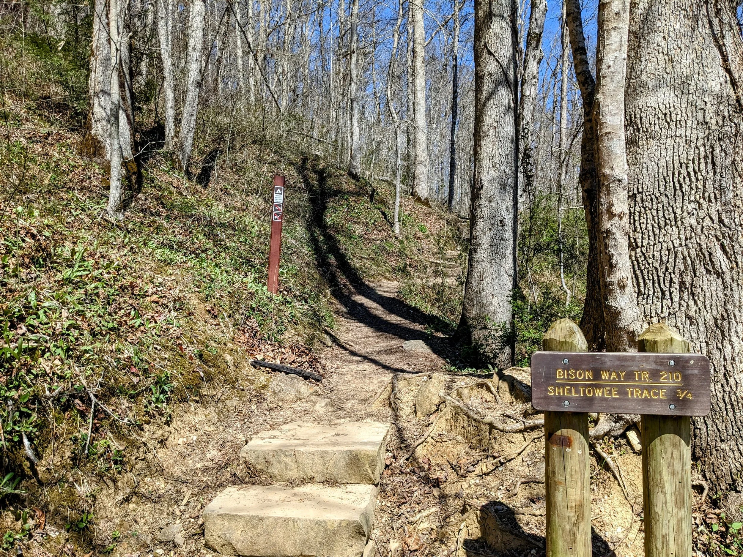
Begin by going uphill on Bison Way
After a short distance, turn right at the fork with a wide user trail
Continue on Bison Way as it winds around the base of the ridge
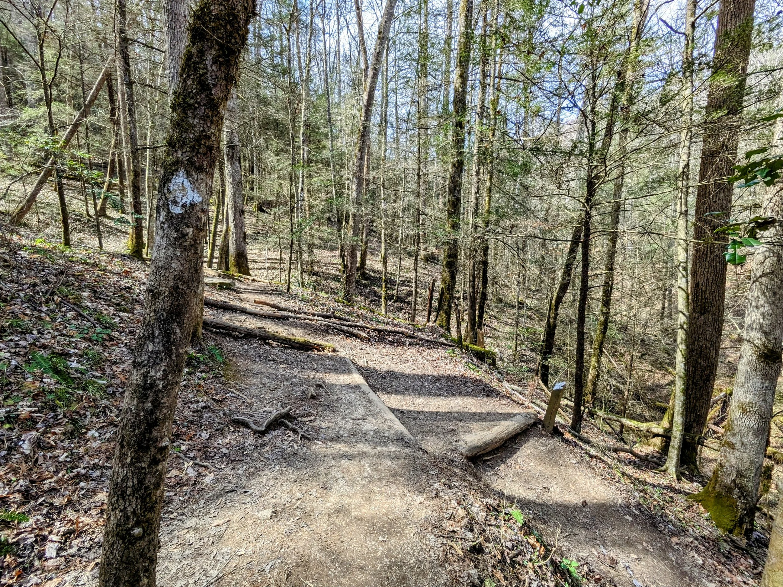
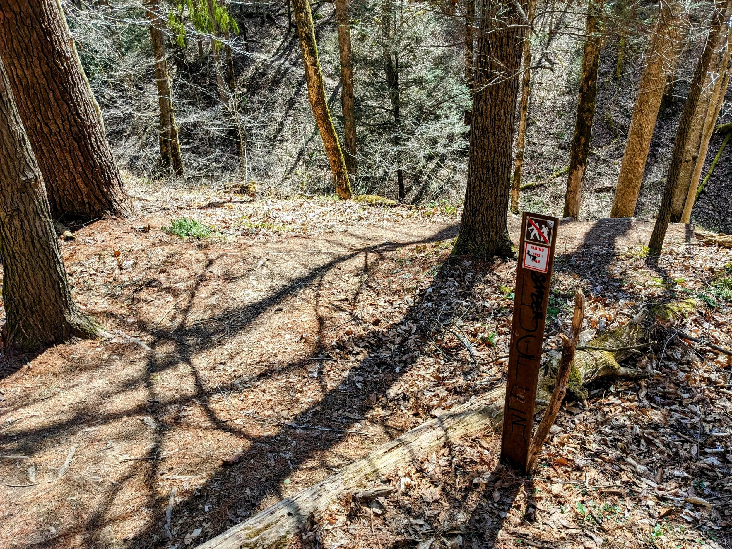
Keep a sharp eye to a switchback downhill where a shortcut trail goes straight (waypoint listed above)
Take the switchback to stay on Bison Way and descend - if you miss this turn, don’t worry, just continue until you reach Sheltowee Trace
Turn left (west-northwest) onto Sheltowee Trace
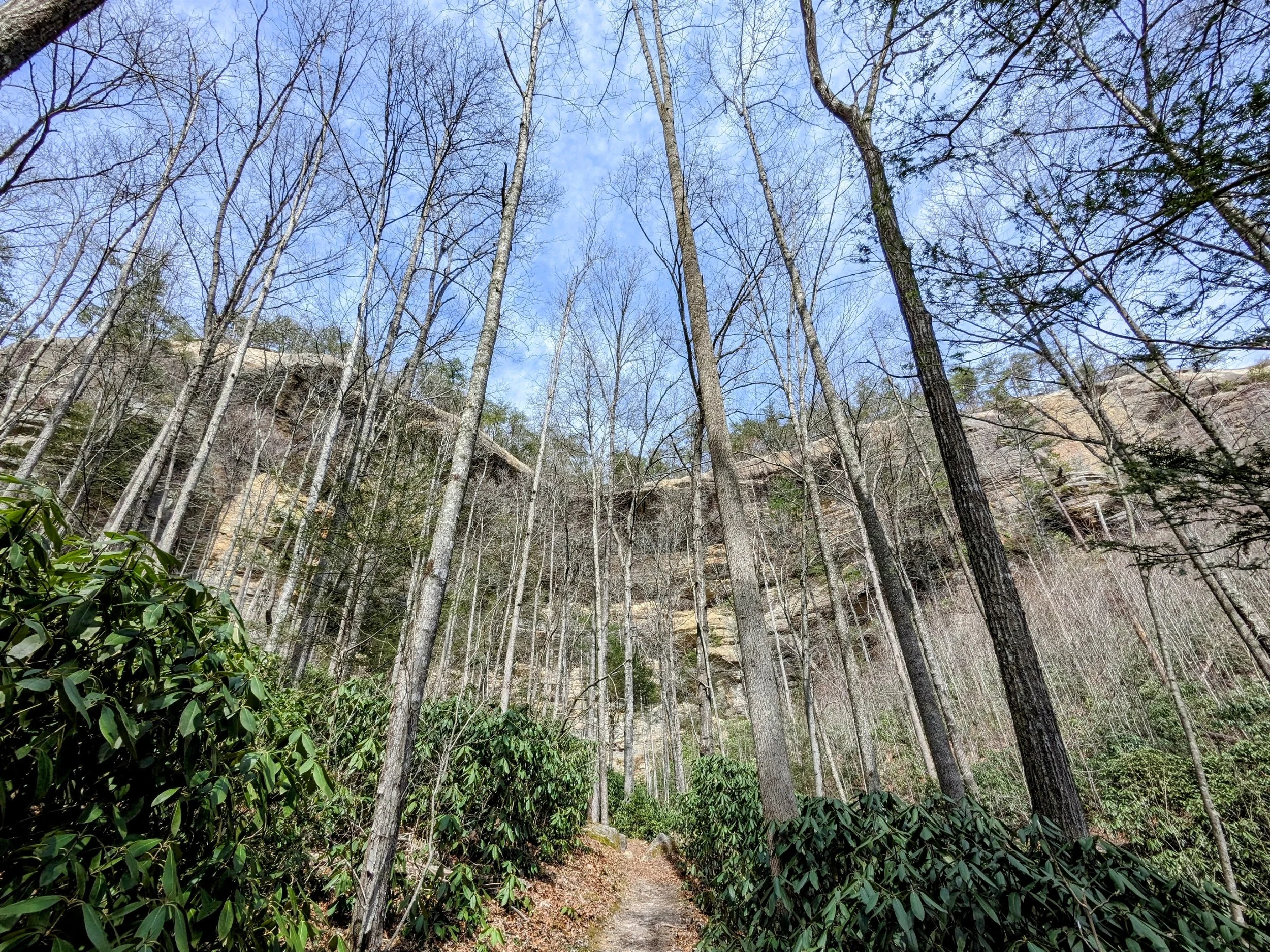
Continue around the base of the ridge and keep your eyes right to see Indian Arch from below
Wrap around and go up the stairs to reach Indian Arch
Retrace your steps to return to the trailhead
CAUTION - Lost Hikers. Indian Staircase seekers frequently get lost trying to find it. I don’t know why though. Just kidding. I did this hike and mapped the shortcut trail specifically to show why folks get lost here. Checkout the zoomed map below:
If you follow the unmarked shortcut trail, you have to turn right on Sheltowee Trace to reach the junction with Indian Staircase Trail. If you follow Bison Way, you have to turn left on Sheltowee Trace to reach the junction. I’ve seen countless lost hikers on this section with many of them turning right off Bison Way and walking unknown distances before realizing they’re off-route. Still others wander well past the junction going the other way by turning left off the unmarked shortcut trail. And then there are those who take the unmarked trail east of Indian Staircase Trail and wind up with a nice set of scrambles to reach the top of the ridge east of the staircase. Maybe I’ll map that someday. It’s a nice enough trail with plenty of class 2/3 scrambling. Anyway, ifn’s you’re looking for Indian Staircase, click here, pick a route, and save the relevant waypoints to your map.
CAUTION - Deadly Drops. Long falls from high places are the #1 non-health related cause of death for hikers in Kentucky. Keep your distance from the edges of cliffs to avoid a deadly fall. Young children should be kept close.
CAUTION - Poisonous Snakes. Copperheads and timber rattlesnakes can be found in the area. Should you encounter one, stop and slowly back away. Always give venomous snakes a wide berth. Know Before You Go => University of Kentucky Venomous Snake Guide
CAUTION - Black Bears. Ursus Americanus - a.k.a. the American black bear is growing in population throughout much of Kentucky. Know Before You Go => US Forest Service Black Bear Safety Tips
Bison Way Trailhead
Take the right fork to stay on trail
Springbeauty
Bloodroot?
Hepatica
Liverleaf?
Phlox
Switchback down and right to stay on trail
User trail junction with Sheltowee Trace
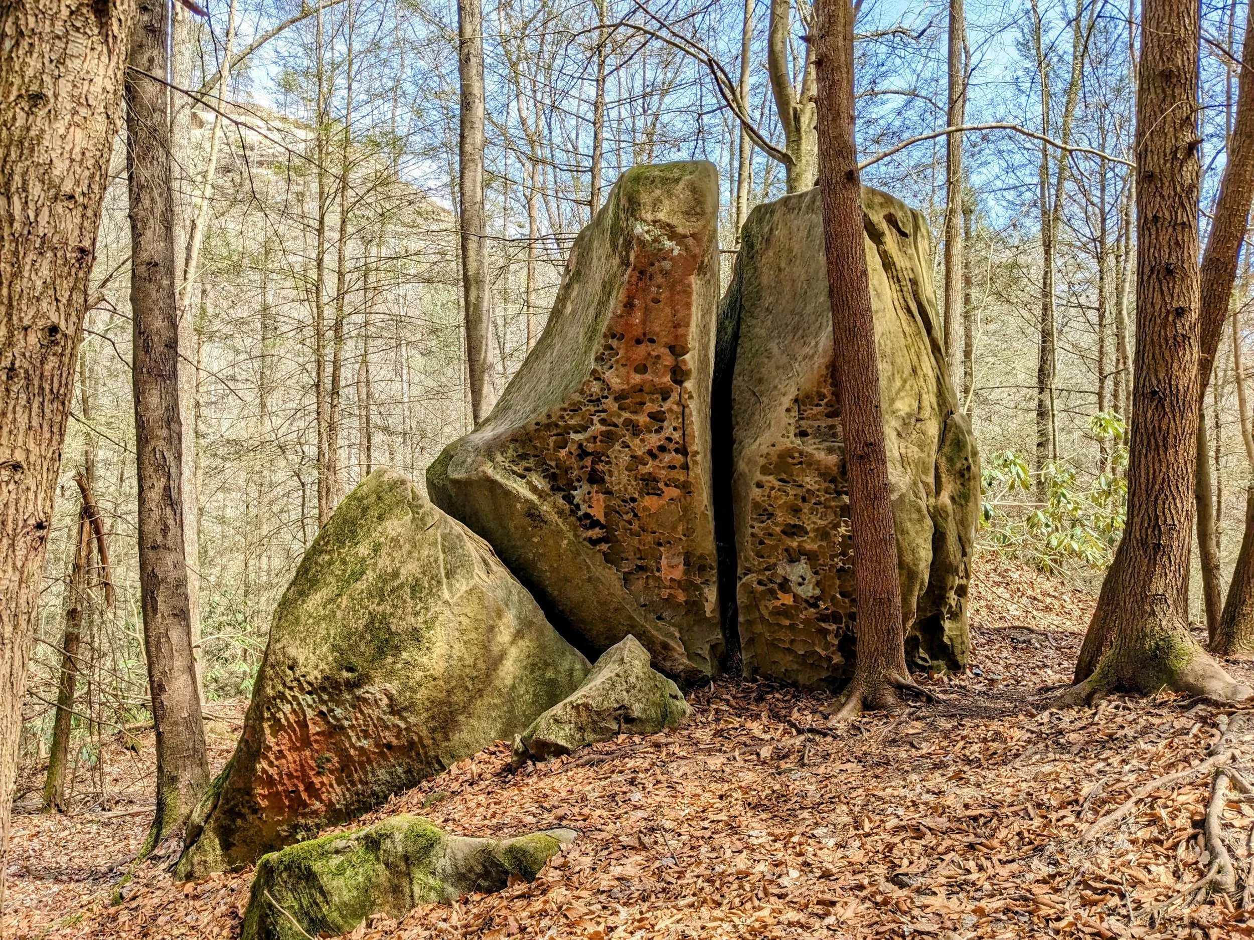
Cool split boulder
Sheltowee Trace turtle blaze and Daniel Boone National Forest white diamond blaze
Looking up at Indian Arch
Stairway to Indian Arch
Indian Arch on approach
Frontside of Indian Arch
Back view of Indian Arch
Looking up at the horseshoe ridge
Sheltowee Trace-Bison Way Junction
Heavily weathered Bison Way trail sign


