Bertis Arch Out and Back Bushwhack

Map of Bertis Arch Out and Back, Cave Run Lake

Elevation Profile of Bertis Arch Out and Back, Cave Run Lake
Overview. After visiting on a snow covered day in Winter, I was hoping to find a user trail to the arch. Aaaand, there isn’t one:-) While the arch is spectacular with some incredible color, it’s a difficult reach thanks to a very steep soil final ascent with very poor footing. Be sure to read the notes and cautions below before heading out.
Route Type | Out and Back
Total Distance | 2.44 miles
Elevation Gain | 338 feet
Overall Difficulty | Strenuous
*the final ascent is off trail, very steep, and sure footing is in short supply; experienced off trail hikers only
GPS Waypoints
FR-914 Trailhead | 38.031539, -83.558031
Turn to Final Ascent | 38.022472, -83.567500
Bertis Arch | 38.021833, -83.564100
Cave Run Lake Area Map
Parking. Limited parking for up to three vehicles is available outside the gate to FR-914. Additional parking can be found a little further east on Leatherwood Road as well.
Trail Navigation. Start by passing by the gate for FR-914 and continue up the road passing the intersection with Leatherwood Trail until reaching the ‘Turn to Final Ascent’ Waypoint above. From here, you’ll need to cross a small creek before ascending modestly at first to reach the ridgeline. It’s basically staying away from obstructive underbrush until reaching the point below the arch where it becomes very steep. When you encounter terrain like this, keep a low center of gravity, plan your route while knowing you will slide down the fall line (this is the path a ball would take when rolled downhill) at any given moment when your foothold fails. In other words, try to make your slide path the least risky that you can. Hiking poles without baskets are good here to stab into the ground on the downhill side of your foot. You’ll ascend in a generally southeastern direction and there is only one real path to the arch. When you’re near the top, you’ll see a balanced rock. The arch is in the exposed rock to the right (south) of it. Take your time to enjoy the arch and physically regroup for the downclimb to retrace your steps and return to the trailhead.
HIKER NOTE - Hiking Poles. These can be a tremendous help if you remove the baskets and stab them deep into the organic soil to improve the stability of your footing. This technique will NOT support all of your weight pushing against them. These pole plants are for balancing.
HIKER NOTE - Side Stepping. Whenever you encounter steep soil, side stepping both up and down gives you better balance and puts you in a better position to go with an unwanted slide. In addition, sideways footplants that are perpendicular to the fall line deliver better stability as well. Think snowboarding and skiing.
CAUTION - Broken Ribs. One very experienced off trail hiker reported breaking some ribs on this hike, and it’s easy to see how that can happen once you’ve been here. Pick a dry period for this hike, keep your center of gravity low on the final push, and be prepared to slide down at any moment (be aware of your anticipated slide path and options for self arrest).
CAUTION - Deadly Drops. Long falls from high places are the #1 non-health related cause of death for hikers in Kentucky. Keep your distance from the edges of cliffs to avoid a deadly fall. Young children should be kept close.
CAUTION - Poisonous Snakes. Copperheads and timber rattlesnakes can be found in the area. Should you encounter one, stop and slowly back away. Always give venomous snakes a wide berth. Know Before You Go => University of Kentucky Venomous Snake Guide
CAUTION - Black Bears. Ursus Americanus - a.k.a. the American black bear is growing in population throughout much of Kentucky. Know Before You Go => US Forest Service Black Bear Safety Tips

FR-914 Gate and De Facto Bertis Arch Trailhead, Cave Run Lake

Violets on FR-914, Cave Run Lake

Bertis Balanced Rock, Cave Run Lake

Bertis Arch Sign In Sheet, Cave Run Lake

Bertis Arch from Beyond, Cave Run Lake

Incredibly Colorful Bertis Arch, Cave Run Lake
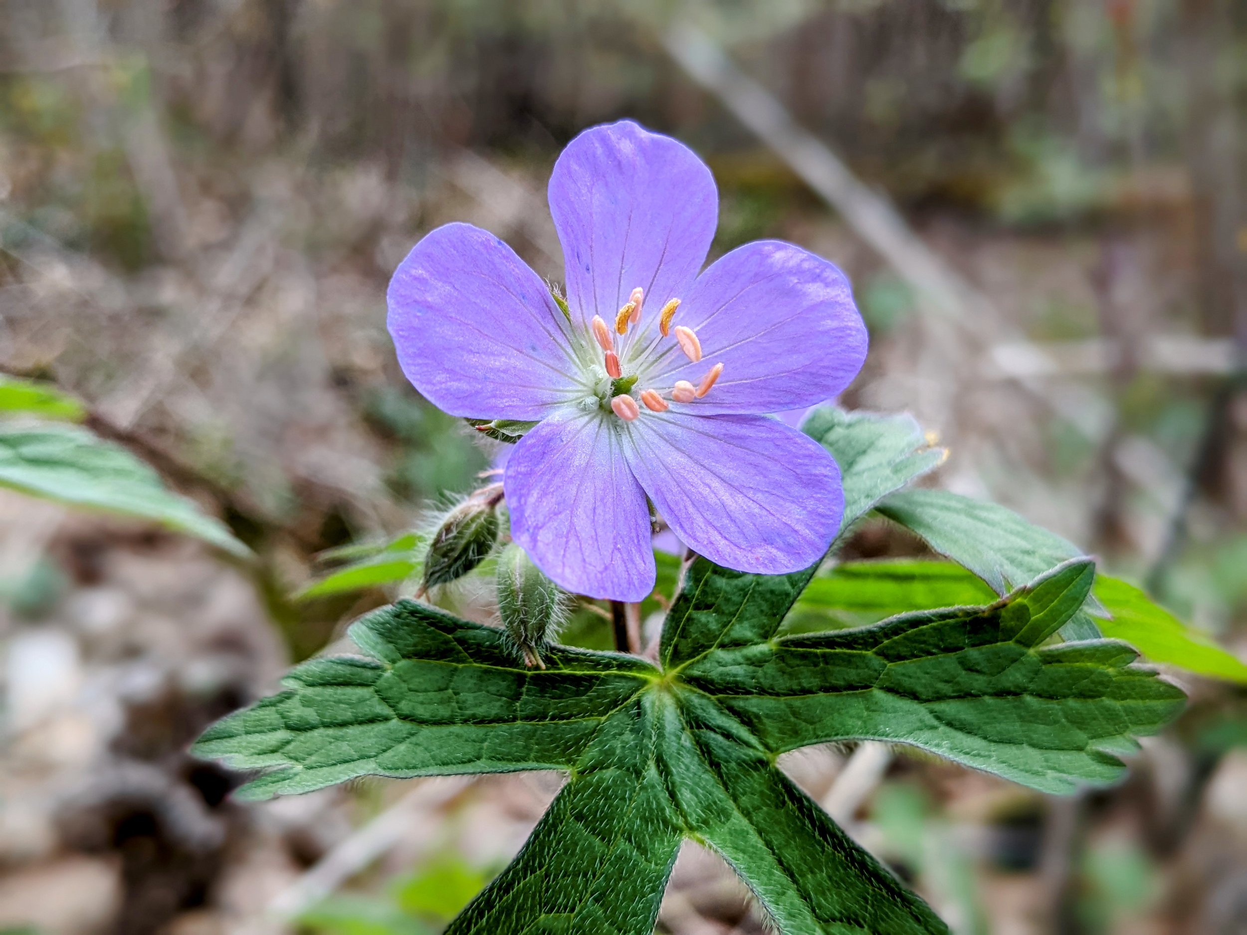
Wild Geranium, Cave Run Lake