Tarr Ridge East Overlooks - Winter Views

Map of Tarr Ridge East Overlooks, Red River Gorge

Elevation Profile of Tarr Ridge East Overlooks, Red River Gorge
Overview. This is an excellent - and popular - hike in Red River Gorge that features a total of five well trod overlooks. We visited four of them and skipped the fifth that requires a class 4 scramble with unfamiliar rope (stranger danger). Be sure to read below to determine how many overlooks you might enjoy.
Route Type | Out and Back Fingers
Total Distance | 4.24 miles
Elevation Gain | 772 feet
Overall Difficulty | Easy to Moderate with Class 2, 3, and 4 Scrambles
this trail is unmarked, easy to navigate, and has significant risks as noted below
GPS Waypoints
Trailhead | 37.852856, -83.641878
Turn to Overlook #1 | 37.846424, -83.637543
Overlook #1 | 37.844269, -83.639747
Turn to Overlook #2 | 37.842050, -83.636605
Overlook #2 | 37.841794, -83.637617
Turn to Overlook #3 | 37.839739, -83.637370
Overlook #3 | 37.840478, -83.638453
Turn to Overlook #4 | 37.838739, -83.638573
Overlook #4 | 37.838797, -83.640539
Turn to Overlook #5 | 37.837434, -83.637795
Overlook #5 | 37.835389, -83.641944
Red River Gorge Area Map
Parking. Limited parking is available at the top of KY-77 at a roadside lot. Please park to maximize space for others. This lot is frequently full over the weekends in the warmer months with dispersed campers taking advantage of the many campsites along these unmarked trails.
Trail Navigation. The trail has seen some significant maintenance and is both wider and clearer than on any of my previous visits. In addition, the trail appears to have been extended beyond the spur to the fifth overlook that is also known as “Jennifer’s Overlook” (hmm, was that only one ‘n’?…meh, can’t remember). From the Red River Gorge sign at the otherwise unnamed trailhead, walk past the large campsite and continue on the well defined trail to reach the overlooks with each being a right turn (west) off the main artery. Download the map files and load them to your phone; add the GPS waypoints to your map, or turn at these distances from the trailhead:
Turn to Overlook #1 | Mile 0.61
Turn to Overlook #2 | Mile 1.01
Turn to Overlook #3 | Mile 1.20
Turn to Overlook #4 | Mile 1.30
Turn to Overlook #5 | Mile 1.39
The turns are all well defined with one exception that is on the other side of a mid-sized campsite on the trail. And, here is how each of these spurs off the main trail rate in terms of difficulty:
Overlook #1 | Easy
Overlook #2 | Easy
Overlook #3 | Easy with a Class 2 Scramble
Overlook #4 | Easy with a Class 3 Scramble
Overlook #5 | Moderate with a Class 4 Scramble
Visit as many or as few of the overlooks as you like and retrace your steps. #1 is great for its short distance and easy walking with a view down the seam of Dunkan Hollow. #2 is the least attractive of the group, but remains a worthy destination and is more likely to provide solitude. #3 has a really unique walkout with at least one interesting etching. #4 has the most room to sprawl and was LaFonda’s favorite. I’ll venture out to #5 on a future trip with more appropriate gear, but it appears to be every bit as good as #4 - possibly better.
HIKER NOTE - Trail Extension? If memory serves, the trail in years past essentially petered out at the turn to Jennifer’s Overlook. On this visit, it appeared additional trail extends south. On satellite, there are three fingers at the south end of the ridge that sit above the river and may provide some nice views. I’ll check that out on a future visit to see if they’re worth visiting.
Class 2 Scramble. A class 2 is only slightly more challenging than walking. You’ll need to get on all fours to safely negotiate a section of terrain. There is only slightly elevated risk on the way out to the third overlook - scoot on your butt on the way down and bear crawl on the way back up.
Class 3 Scramble. This requires all fours, but you also might like to have some rope or other safety measures in place. In this case, there are two route options and both have elevated risk for serious injury - thus, the reason some rope might be nice;-) You can hop from the uneven boulders to the remainder of the ridge OR you can walk around approach left and palm/muscle up.
Class 4 Scramble. This requires all fours AND rope or other safety measures AND has serious risk exposure including serious injury or death. To reach Jennifer’s Overlook (the 5th in this sequence), rope is affixed to a tree, but it is of unknown age and quality. It’s a brilliant idea to NEVER use unknown rope that cannot be inspected in its entirety - especially when you will be placing your full bodyweight on the rope.
STUPID - Fires on Exposed Ridgetops. This was the site of a manmade fire last year from an escaped campfire that was not fully extinguished. It is always a bad idea to light a campfire on exposed ridgetops like this one unless you are carrying a great deal of water to fully extinguish it. Be sure your fire is dead out by sticking your had in there to make sure it’s cool to the touch before leaving. If it’s not, drive down to the river, fill up on water and return to extinguish it. There is NO water source atop the ridge.
CAUTION - Deadly Drops. Long falls from high places are the #1 non-health related cause of death for hikers in Kentucky. Keep your distance from the edges of cliffs to avoid a deadly fall. Young children should be kept close.
CAUTION - Poisonous Snakes. Copperheads and timber rattlesnakes can be found in the area. Should you encounter one, stop and slowly back away. Always give venomous snakes a wide berth. Know Before You Go => University of Kentucky Venomous Snake Guide
CAUTION - Black Bears. Ursus Americanus - a.k.a. the American black bear is growing in population throughout much of Kentucky. Know Before You Go => US Forest Service Black Bear Safety Tips

The unmarked trail starts to the left of this sign

Bluebird skies
Approach view to Overlook #5

Slick slab and unknown rope; no thanks - we’ll bring our own next time out

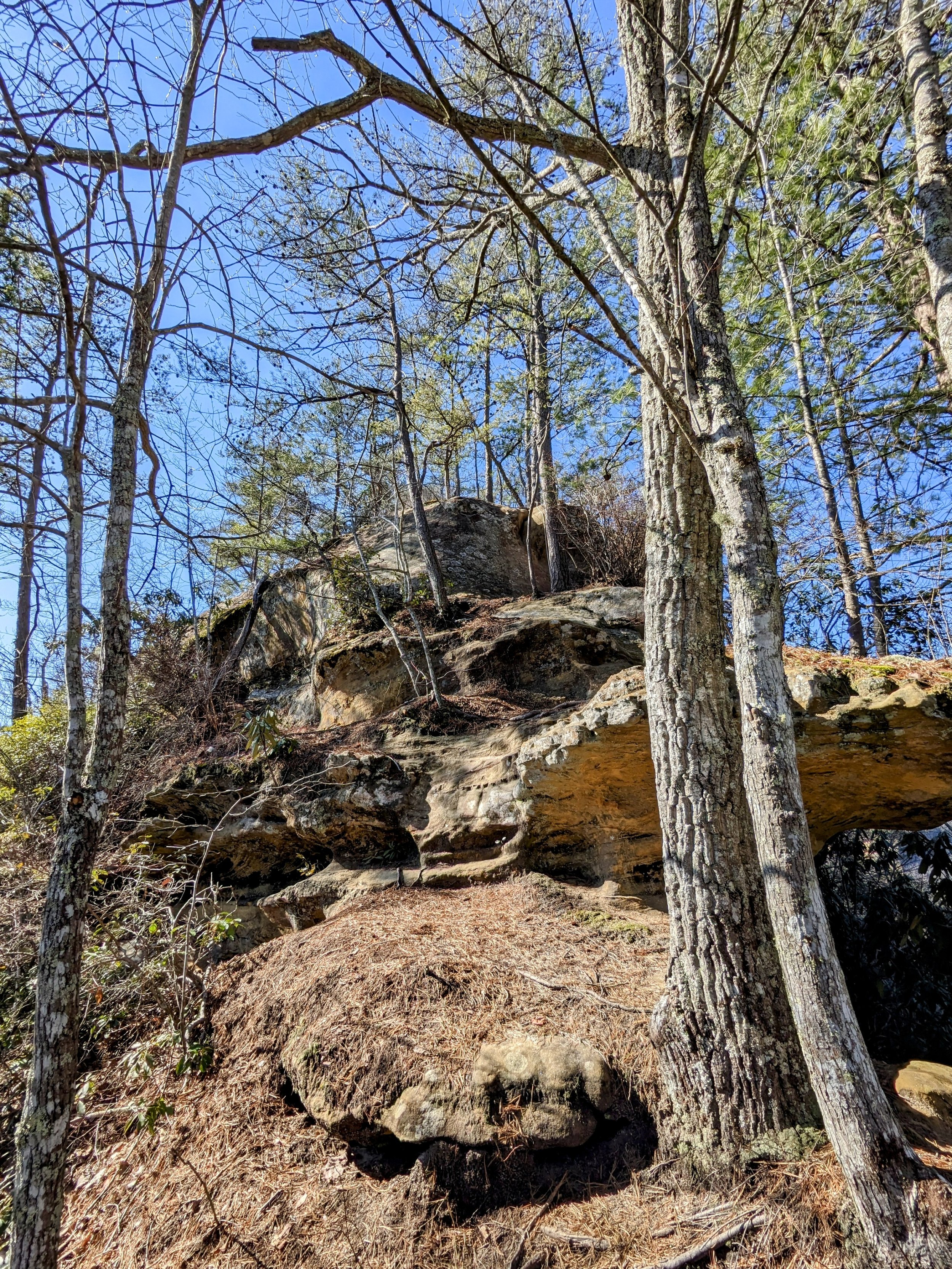
Below the overlook are plenty of windows and interesting geology

Split pillar windows

Long open rock section on the way to Overlook #4

LaFonda chillin’ at Overlook #4

Overlook #3 looking out to Tarr Ridge West

Mushroom carving at Overlook #3

View from Overlook #2

Overlook #1

LaFonda DOWN!!! Pine straw is slick;-)