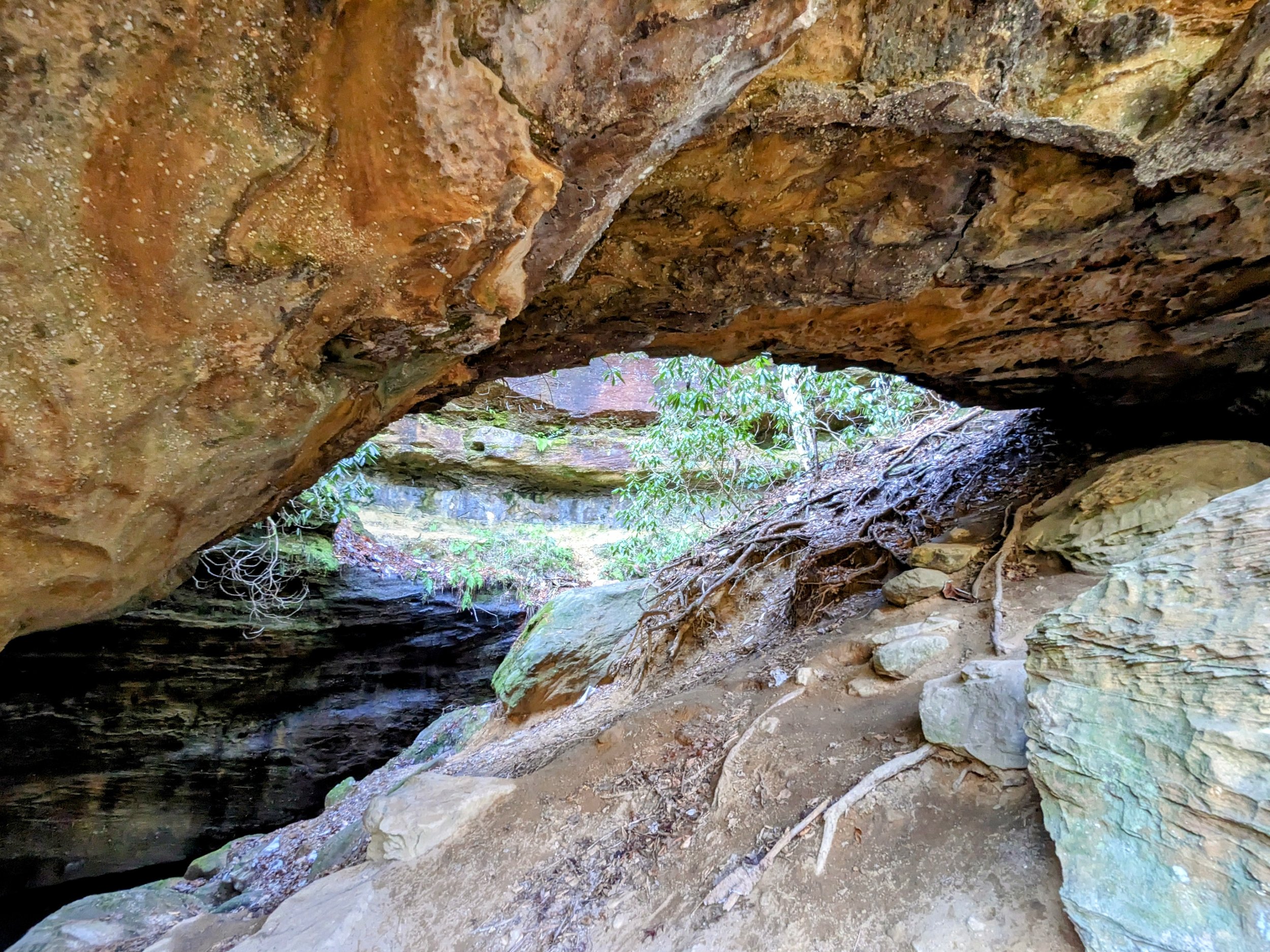
Koomer Ridge Campground Loop
Map of Koomer Ridge Campground Loop, Red River Gorge
Elevation Profile of Koomer Ridge Campground Loop, Red River Gorge
Overview. This hike combines popular short hikes surrounding Koomer Ridge Campground into a single loop that includes Hidden Arch, Silvermine Arch, and Cliff Trail for a total of about five miles. It’s a great way to spend a day - whether staying at the campground or visiting for the day.
Route Type | Loop and Spur
Total Distance | 5.07 miles
Elevation Gain | 791 feet
Overall Difficulty | Easy to Moderate
GPS Waypoints
Koomer Ridge Day Use Parking Lot | 37.787058, -83.623989
Hidden Arch | 37.788344, -83.639853
Silvermine Arch | 37.787058, -83.623989
Koomer Ridge All Trails Guide from USFS
Parking. Ample parking is available in the day use/backpacking lot. Turn left at the fork when entering the campground and make another left at the first intersection across from the Camp Host. Do NOT park in numbered parking spaces that are designated for use by campers.
Trail Navigation. From the infoboard, walk back on the road and locate the connector trailhead to the left (north) of the camp host. Take that trail and stay left until reaching a fork to cross the campground parking lot to reach the Koomer Ridge Trailhead. Walk past the campsites and continue into the forest until reaching the fork for Hidden Arch. Fork left (northwest) to descend to Hidden Arch. Continue past the arch and uphill to reach the northern junction with Koomer Ridge Trail and turn right (south) to return to the campground. Once on the pavement, turn left toward the garbage bins and locate the connector trail here. Continue east/northeast until reaching the amphitheater and turn left toward Silvermine Arch. Reach the next junction and turn left again toward the arch. Walk the trail, descend the 79+ steps and reach the arch shortly thereafter. Take it all in from the many viewing angles before retracing your steps to turn left at the first junction onto Cliff Trail. Follow the trail that takes a short patch of pavement walking before going out to the clifftops where a number of developed overlooks can be found. Enjoy the sights and appreciate the height of these cliffs. Continue to the end of the trail and road walk until reaching the connector path to the main trail that will return you to the parking lot.
HIKER NOTE - Waterfalls. There are no less than six off-trail, seasonal waterfalls off the western and eastern portions of this loop in the Chimney Top Creek watershed.
CAUTION - Deadly Drops. Long falls from high places are the #1 non-health related cause of death for hikers in Kentucky. Keep your distance from the edges of cliffs to avoid a deadly fall. Young children should be kept close.
CAUTION - Poisonous Snakes. Copperheads and timber rattlesnakes can be found in the area. Should you encounter one, stop and slowly back away. Always give venomous snakes a wide berth. Know Before You Go => University of Kentucky Venomous Snake Guide
CAUTION - Black Bears. Ursus Americanus - a.k.a. the American black bear is growing in population throughout much of Kentucky. Know Before You Go => US Forest Service Black Bear Safety Tips
Day use trailhead for (from west to east) Hidden Arch, Koomer Ridge, Silvermine Arch, and Cliff Trails
Trail signs just off the camp host site
Pass through the walk-in campsites; pit toilet on the right
Koomer Ridge and Hidden Arch Trails
Turn left onto Hidden Arch Trail
That’s a nice set of burls!
Hidden Arch down below
Stairway to Hidden Arch
Hidden Arch from the base of the staircase
Hidden Arch from the front
Hidden Arch from the back
More great sandstone
Turn right to return to the campground before linking up with Silvermine Arch Trail
Take the mini-bridge
Stay on Trail 225
Continue toward the amphitheater
Keep going
And going
Quick view before the final descent to Silvermine Arch
Staircase to Silvermine Arch
A great forest scene on the way to the arch
Silvermine Arch approach view
Silvermine Arch
From the base of the arch
From the corner of the arch
Back view of Silvermine Arch
A pair of pillar windows on the way out
Going up!
Follow Campground/Cliff Trail
Turn left toward Cliff Trail
Winter camping is cheap - trash service and pit toilets only
Cliff Trailhead
Legit sign; don’t die
One of the developed overlooks on the trail
Walk the road a short distance toward the day use trailhead
Drop off the road to the right to find the trail back to the parking lot


