Flume Gorge Loop

Map of Flume Gorge Loop, Franconia Notch State Park

Elevation Profile of Flume Gorge Loop, Franconia Notch State Park
Overview. This short loop is among the most popular easy hikes in the Whites and with lots of good reasons. Enjoy a nice walk through the forest, passing a pair of covered bridges, a number of cascades, a gorgeous waterfall, and a couple picture perfect views. Just be sure to pay the ticket price and book your time slot in advance.
Route Type | Loop
Total Distance | 2.25 miles
Elevation Gain | 490 feet
Overall Difficulty | Easy to Moderate
GPS Waypoints
Entrance Gate | 44.097281, -71.680661
Franconia Notch State Park Map
Parking. Ample parking is available in the Flume Gorge Parking Lot. Be sure to purchase tickets in advance to reserve your spot for a discount.
Trail Navigation. The trail is well marked, wide, and easy to follow. Begin at the gate located to the left of the main building to show your tickets purchased online or buy them here. Follow the trail and enjoy your time.
FEE AREA - Book in Advance. We saved $3 per person by booking online and paying $18 apiece for the last time slot at 4:00 p.m. This fee helps to manage crowds and parking while providing funding to maintain these trails that are as expensive a construction as I could imagine.

Book Your Tickets Online to Save, Franconia Notch State Park

Covered Bridge Over the Pemigewasset River Near Its Headwaters

One of Many, Many Cascades on the Trail

LaFonda Posing in Flume Gorge
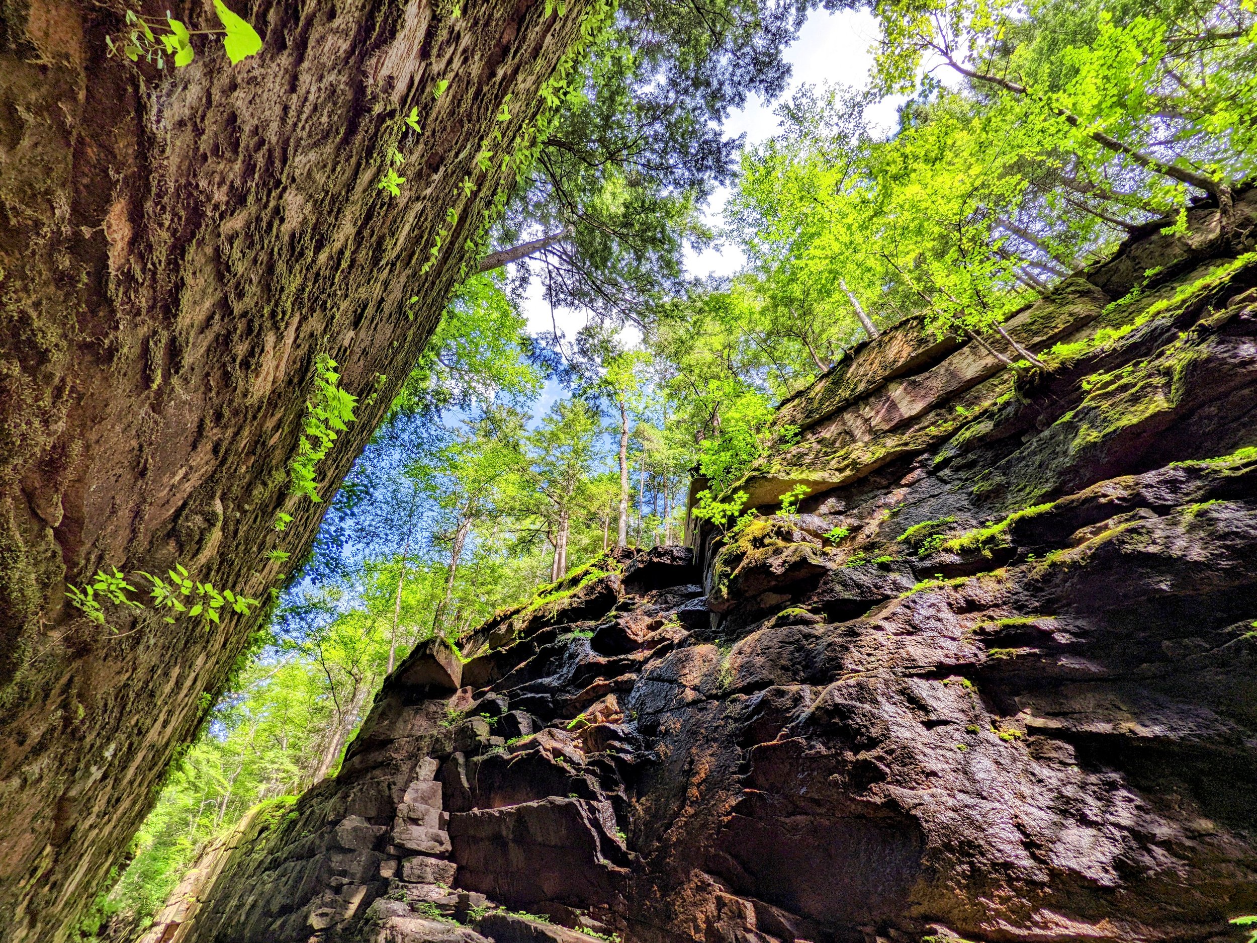
Looking Up at the Walls of Flume Gorge
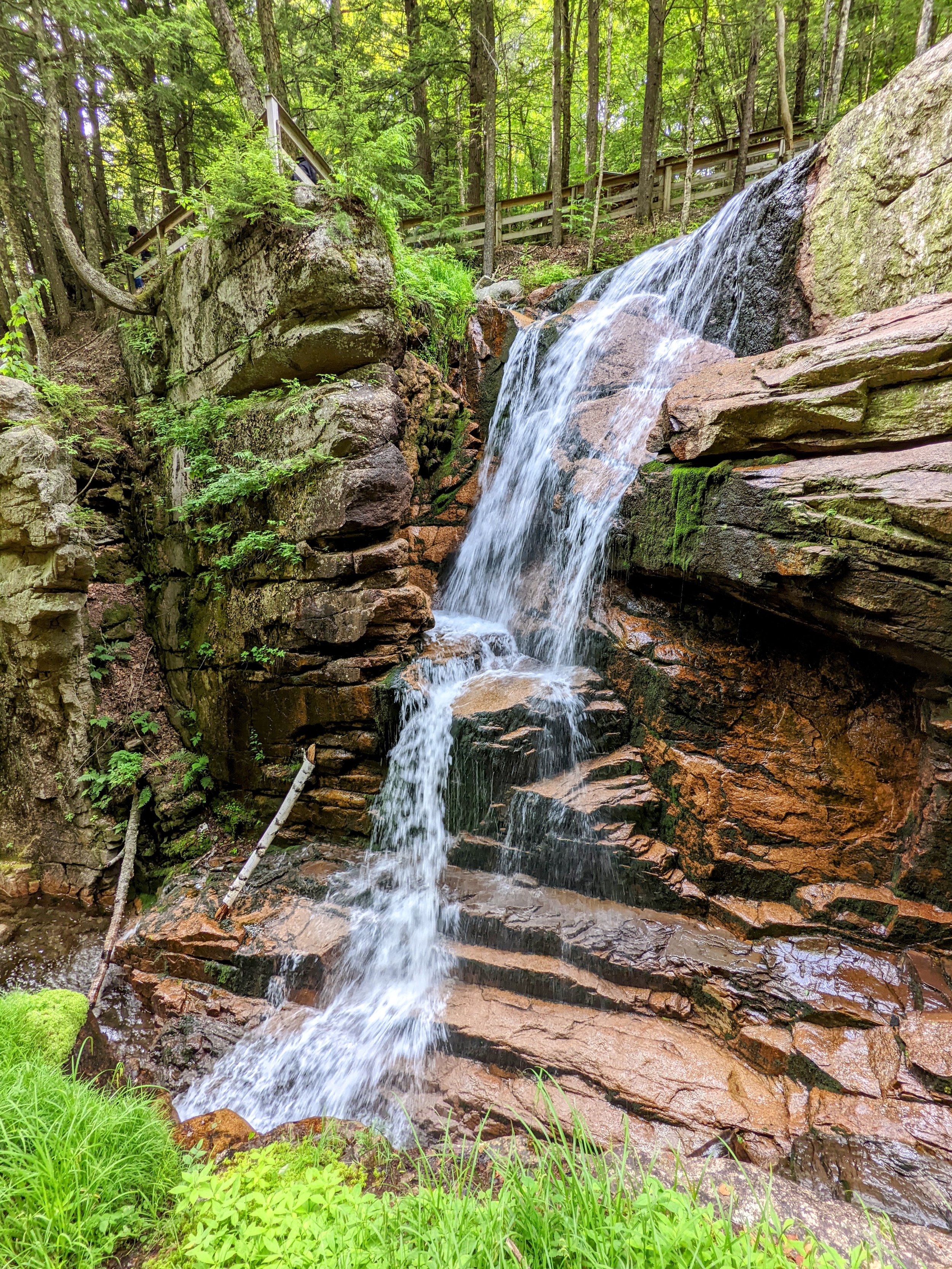
Avalanche Falls at the Top of Flume Gorge

Looking South Out of Franconia Notch

Liberty Cascade After a Dry Spell

Massive Clear Pool Below the Trail

Covered Footbridge, Cascades, and a Crystal Clear Plunge Pool

Looking Out to Mt. Liberty and Mt. Flume